Loading...
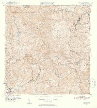
Loading map...1952 Map of Orocovis
USGS Topo · Published 1953About this map
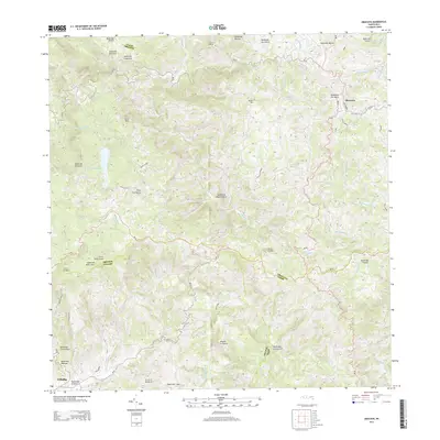
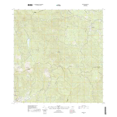
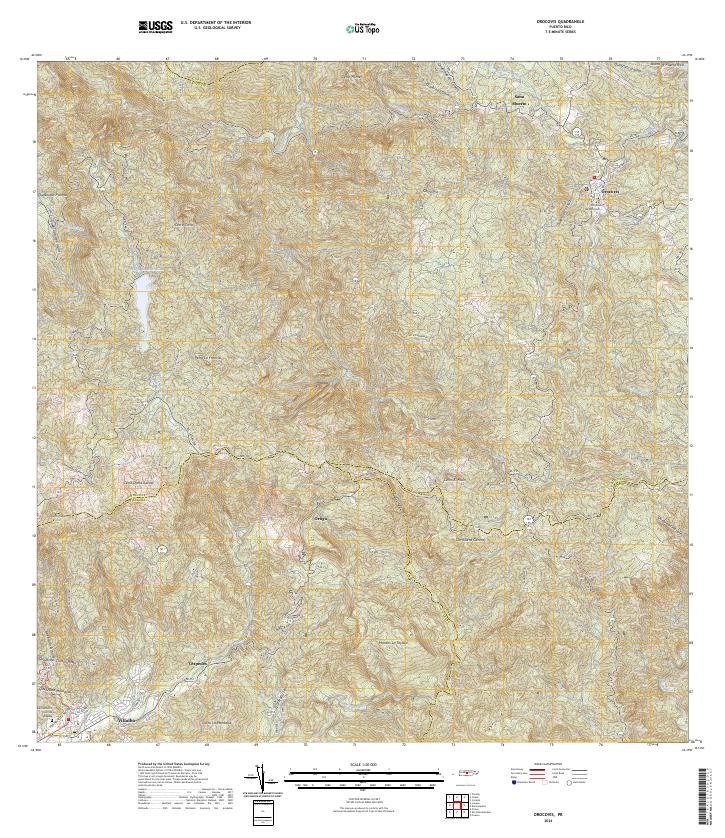
The Cordillera Central defines the mountainous heart of Puerto Rico in this 1952 revision, where the municipalities of Orocovis, Villalba, and Coamo meet. The town of Orocovis sits at the northeastern edge of the sheet, while the southern slopes descend toward Villalba. This era captures a landscape of remote agricultural estates and scattered rural communities, notably centered around Hacienda Limon and the Capilla de San Jose.
Find a feature on this map
62 named features on this map. Tap any name to fly to it.
Don’t see what you’re looking for? This feature index may not catch every label — zoom into the map to look around manually.
Map Details
Date Portrayed1952
Date Published1953
PublisherU.S. Geological Survey
Map TypeTopographic
Scale1:30,000
Physical Dimensions19.91 x 22.07 inches
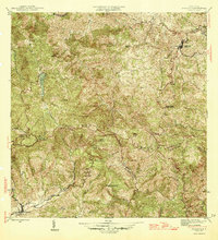
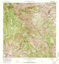
Editions of this 1952 Orocovis Map
2 editions found
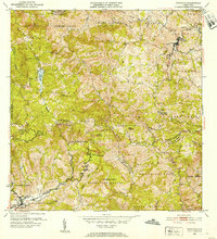
Historical Maps of Villalba Through Time
6 maps found
Featured Locations
- Sector La Hoya, Orocovis
- Orocovis, Orocovis
- Sana Muerto, Orocovis
- Sector Colí, Orocovis
- Villalba, Villalba
Source Details
SourceU.S. Geological Survey
CopyrightPublic Domain