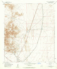
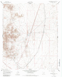
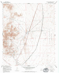
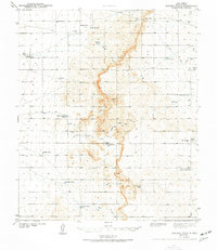
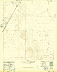
1955 Map of Orogrande North
USGS Topo · Published 1962About this map
Mining operations in the southern reaches of Otero County define this mid-century survey of the Chihuahuan Desert landscape. The Jarilla Mountains rise sharply in the west, harboring a cluster of mineral sites including the Iron Queen Mine, Alice Mine, and Maggie Baird Mine. These peaks are punctuated by natural features like Monte Carlo Gap and Water Canyon, while the valley floor shows the infrastructure required to support life and industry in an arid climate, specifically the Aqueduct and scattered tanks like Hard Luck Tank.
Find a feature on this map
19 named features on this map. Tap any name to fly to it.
Don’t see what you’re looking for? This feature index may not catch every label — zoom into the map to look around manually.
Map Details
Editions of this 1955 Orogrande North Map
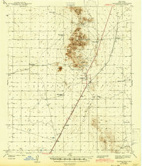
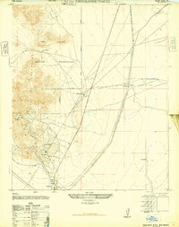
Other maps of this area

1916 · Point Of Sands
USGS Topo · 1:125,000
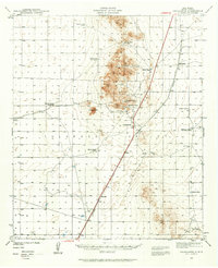
1940 · Orogrande
USGS Topo · 1:62,500
1943 · Pendejo Wash
USGS Topo · 1:62,500
1943 · Orogrande
USGS Topo · 1:62,500
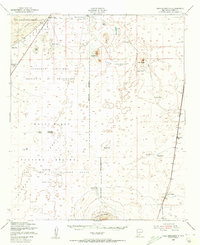
1947 · Orogrande North
USGS Topo · 1:24,000
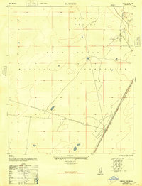
1948 · El Wood
USGS Topo · 1:24,000
1948 · Orogrande South
USGS Topo · 1:24,000
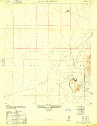
1948 · Elephant Mountain
USGS Topo · 1:24,000
1948 · Tres Hermanos
USGS Topo · 1:62,500
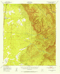
1950 · Escondido Canyon
USGS Topo · 1:62,500