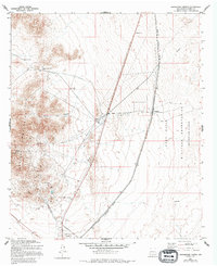
1955 Map of Orogrande North
USGS Topo · Published 1994About this map
The Jarilla Mountains dominate this high-desert landscape, serving as a hub for early 20th-century mining activity. This mid-century survey reveals a network of workings concentrated in the hills, including the Iron Queen Mine, Alice Mine, and Mamie Baird Mine, with areas of Tailings marking the extraction legacy. The settlement of Orogrande sits at the southern edge, supported by the critical infrastructure of the Southern Pacific railroad and an extensive Aqueduct system cutting across the Tularosa Basin.
Find a feature on this map
20 named features on this map. Tap any name to fly to it.
Don’t see what you’re looking for? This feature index may not catch every label — zoom into the map to look around manually.
Map Details
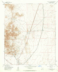
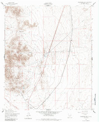
Editions of this 1955 Orogrande North Map
Other maps of this area

1916 · Point Of Sands
USGS Topo · 1:125,000

1940 · Orogrande
USGS Topo · 1:62,500

1943 · Pendejo Wash
USGS Topo · 1:62,500

1943 · Orogrande
USGS Topo · 1:62,500

1947 · Orogrande North
USGS Topo · 1:24,000

1948 · El Wood
USGS Topo · 1:24,000
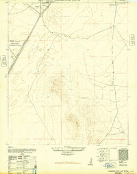
1948 · Orogrande South
USGS Topo · 1:24,000

1948 · Elephant Mountain
USGS Topo · 1:24,000

1948 · Tres Hermanos
USGS Topo · 1:62,500

1950 · Escondido Canyon
USGS Topo · 1:62,500