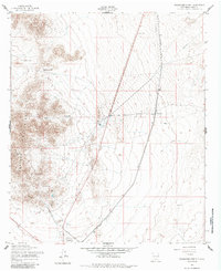
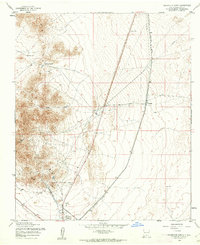
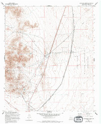
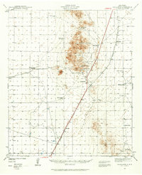
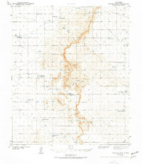
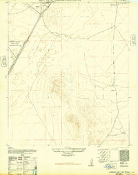
1955 Map of Orogrande North
USGS Topo · Published 1985About this map
Orogrande stands at the base of the Mountains in this mid-1950s survey, revealing a landscape defined by mining history and the infrastructure of the high desert. The mining heritage of Otero County is evident in operations like the Alice Mine and Maggie Baird Mine, while the small settlement of Turquoise and nearby Ruins suggest a history of boom and bust in the mineral-rich earth. An engineering corridor runs through the flats, featuring the Southern Pacific railroad and an Aqueduct paralleling 54, highlighting the vital role of transportation and water management in this arid environment. Key terrain features such as the Monte Carlo Gap and Canyon provide natural landmarks for navigating the transition from the rugged peaks to the open plains, where isolated water sources like Hard Luck Tank and Beptort Well were essential for survival and industry.
Find a feature on this map
17 named features on this map. Tap any name to fly to it.
Don’t see what you’re looking for? This feature index may not catch every label — zoom into the map to look around manually.
Map Details
Editions of this 1955 Orogrande North Map
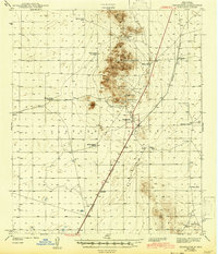
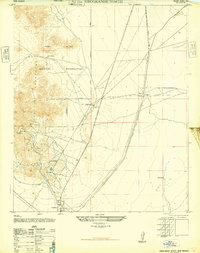
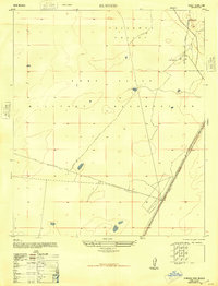
Other maps of this area

1916 · Point Of Sands
USGS Topo · 1:125,000
1940 · Orogrande
USGS Topo · 1:62,500
1943 · Pendejo Wash
USGS Topo · 1:62,500
1943 · Orogrande
USGS Topo · 1:62,500
1947 · Orogrande North
USGS Topo · 1:24,000
1948 · El Wood
USGS Topo · 1:24,000
1948 · Orogrande South
USGS Topo · 1:24,000
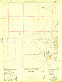
1948 · Elephant Mountain
USGS Topo · 1:24,000
1948 · Tres Hermanos
USGS Topo · 1:62,500
1950 · Escondido Canyon
USGS Topo · 1:62,500