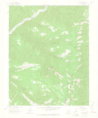
1963 Map of Orphan Butte
USGS Topo · Published 1965About this map
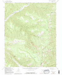
The Dolores River cuts through the northwest corner of this 1963 survey, revealing the legacy of mountain commerce and livestock movement within the San Juan National Forest. While the high-elevation terrain is dominated by deep drainages like Roaring Forks Creek and Grindstone Creek, the human imprint is clear in the Old Railroad Grade tracing the river valley and the Truelson Ranch located near the water's edge. The map captures a specialized mountain economy through named transit corridors, including the Goodhope Stock Driveway and Gold Run Driveway, which indicate the movement of livestock through the high country. Prominent landmarks such as Orphan Butte and the Cape of Good Hope overlook a network of backcountry paths, including the Highline Trail and several pack trails, documenting the landscape before modern road infrastructure reached these remote elevations on the Montezuma and La Plata county line.
Find a feature on this map
35 named features on this map. Tap any name to fly to it.
Don’t see what you’re looking for? This feature index may not catch every label — zoom into the map to look around manually.
Map Details
Editions of this 1963 Orphan Butte Map
6 editions found
Other maps of this area

1895 · La Plata
USGS Topo · 1:62,500

1897 · La Plata
USGS Topo · 1:62,500

1897 · Rico
USGS Topo · 1:62,500

1898 · Durango
USGS Topo · 1:62,500

1898 · Engineer Mountain
USGS Topo · 1:62,500

1898 · Rico
USGS Topo · 1:62,500

1899 · La Plata
USGS Topo · 1:62,500

1899 · Rico
USGS Topo · 1:62,500

1900 · Engineer Mountain
USGS Topo · 1:62,500

1907 · Durango
USGS Topo · 1:62,500