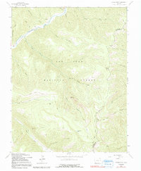
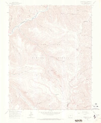
1963 Map of Orphan Butte
USGS Topo · Published 1991About this map
Dolores River headwaters and the deeply incised canyons of the San Juan National Forest define this 1963 survey of the border between Montezuma and La Plata counties. The landscape is a network of historical transit routes, from the Old Railroad Grade following the river to high-altitude cattle paths like the Stock Driveway and Lost Canyon Stock Driveway. Evidence of early settlement is concentrated near the river, notably at Trueblood Ranch and the nearby School House.
Find a feature on this map
34 named features on this map. Tap any name to fly to it.
Don’t see what you’re looking for? This feature index may not catch every label — zoom into the map to look around manually.
Map Details
Editions of this 1963 Orphan Butte Map
6 editions found
Other maps of this area

1895 · La Plata
USGS Topo · 1:62,500

1897 · La Plata
USGS Topo · 1:62,500

1897 · Rico
USGS Topo · 1:62,500

1898 · Durango
USGS Topo · 1:62,500

1898 · Engineer Mountain
USGS Topo · 1:62,500

1898 · Rico
USGS Topo · 1:62,500

1899 · La Plata
USGS Topo · 1:62,500

1899 · Rico
USGS Topo · 1:62,500

1900 · Engineer Mountain
USGS Topo · 1:62,500

1907 · Durango
USGS Topo · 1:62,500