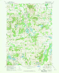
1968 Map of Ortonville
USGS Topo · Published 1970About this map
Ortonville serves as the focal point of this northern Oakland County landscape, which by the late 1960s was defined by a dense concentration of glacial lakes and recreational spaces. The village is surrounded by significant conservation areas, including the Ortonville State Recreation Area to the north and the Holly State Recreation Area to the west. A high density of water bodies like Bald Eagle Lake, Lake Louise, and Seymour Lake drove the development of lakeside communities such as Brandon Gardens and Perry Lake Heights. This era of growth is balanced by historical remnants, including multiple local burial grounds like Carmer Cem and Springfield Plains Cem, alongside religious landmarks such as St Anne Ch and Bell Anne Ch. The southern portion of the map, spanning Springfield and Independence townships, remains dotted with gravel pits and smaller settlements like Jossman Acres and Springfield.
Find a feature on this map
72 named features on this map. Tap any name to fly to it.
Don’t see what you’re looking for? This feature index may not catch every label — zoom into the map to look around manually.
Map Details
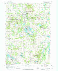
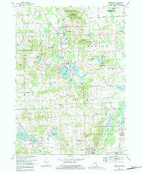
Editions of this 1968 Ortonville Map
3 editions found
Other maps of this area

1907 · Pontiac
USGS Topo · 1:62,500

1909 · Milford
USGS Topo · 1:62,500

1920 · Holly
USGS Topo · 1:62,500

1922 · Holly
USGS Topo · 1:62,500

1936 · Highland
USGS Topo · 1:31,680

1936 · Clarkston
USGS Topo · 1:31,680

1936 · Pontiac North
USGS Topo · 1:31,680

1942 · Highland
USGS Topo · 1:24,000

1943 · Holly
USGS Topo · 1:62,500

1943 · Clarkston
USGS Topo · 1:24,000
Featured Places
- Independence Charter Township, MI
- Springfield Charter Township, MI
- Ortonville, MI
- Brandon Charter Township, MI
- Groveland Township, MI