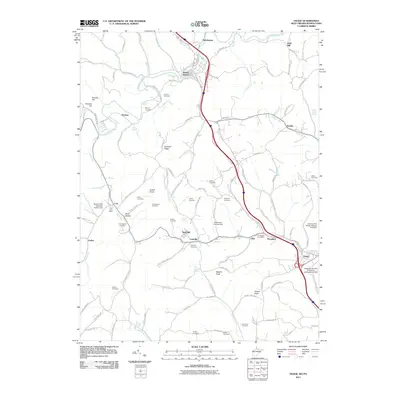
2011 Map of Osage
USGS Topo · Published 2011About this map
Mount Morris and Cassville anchor this 2011 survey of the borderlands between Pennsylvania and West Virginia, a region defined by the winding course of Dunkard Creek and a dense network of country roads. The landscape is heavily marked by the history of local families, evidenced by the high concentration of small burial grounds such as Lemley Cemetery, Meyers Cemetery, and Barrackman Cemetery.
Find a feature on this map
117 named features on this map. Tap any name to fly to it.
Don’t see what you’re looking for? This feature index may not catch every label — zoom into the map to look around manually.
Map Details
Editions of this 2011 Osage Map
This is the sole edition of this map. No revisions or reprints were ever made.
Other maps of this area

1900 · Masontown
USGS Topo · 1:62,500

1901 · Waynesburg
USGS Topo · 1:62,500

1902 · Morgantown
USGS Topo · 1:62,500

1903 · Masontown
USGS Topo · 1:62,500

1904 · Blacksville
USGS Topo · 1:62,500

1904 · Waynesburg
USGS Topo · 1:62,500

1923 · Blacksville
USGS Topo · 1:62,500

1925 · Blacksville
USGS Topo · 1:62,500

1925 · Morgantown
USGS Topo · 1:62,500

1931 · Masontown
USGS Topo · 1:62,500