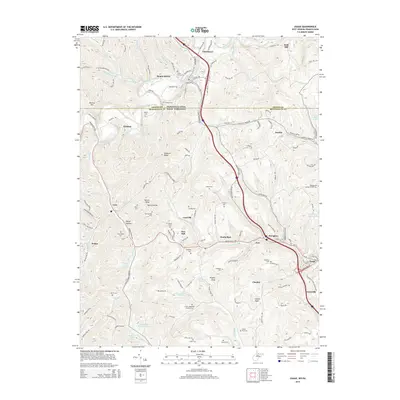
2014 Map of Osage
USGS Topo · Published 2014About this map
Dunkard Creek and its many tributaries wind through this borderland where Pennsylvania and West Virginia meet. The landscape is defined by the tight ridges of Dunkard Ridge and named heights like Sutton Knob and Higgins Knob, punctuated by small settlements and numerous family and community burial grounds. These cemeteries, including Lough-Teagarden Cordray Cem, Cedar Grove Cem, and Snider Cem, are scattered across the terrain, often near the headwaters of runs such as Dents Run and Dolls Run.
Find a feature on this map
122 named features on this map. Tap any name to fly to it.
Don’t see what you’re looking for? This feature index may not catch every label — zoom into the map to look around manually.
Map Details
Editions of this 2014 Osage Map
This is the sole edition of this map. No revisions or reprints were ever made.
Other maps of this area

1900 · Masontown
USGS Topo · 1:62,500

1901 · Waynesburg
USGS Topo · 1:62,500

1902 · Morgantown
USGS Topo · 1:62,500

1903 · Masontown
USGS Topo · 1:62,500

1904 · Blacksville
USGS Topo · 1:62,500

1904 · Waynesburg
USGS Topo · 1:62,500

1923 · Blacksville
USGS Topo · 1:62,500

1925 · Blacksville
USGS Topo · 1:62,500

1925 · Morgantown
USGS Topo · 1:62,500

1931 · Masontown
USGS Topo · 1:62,500