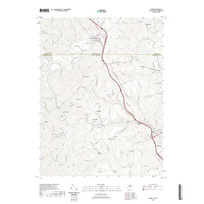
2019 Map of Osage
USGS Topo · Published 2019About this map
Mount Morris stands as a primary crossing point on the Pennsylvania West Virginia border, where the interstate corridor follows the ancient path of Dunkard Creek. This borderlands landscape is defined by the sharp contrasts between the agricultural plateau of Dunkard Ridge and the industrial activity found along the Scotts Run valley. Settlements like Osage, Pursglove, and Cassville reveal the dense social fabric of the West Virginia coal and river country, while family legacy is preserved in numerous rural burial grounds such as the Lough-Teagarden-Cordray Cem and Barrackman Cem. Natural springs, including Wade Spring and John Petrovich Spring, mark the hillside topography that has long influenced the placement of early homesteads. Traces of historical travel are evident along the Catawba Trail, providing a clear look at how early overland routes and modern infrastructure have layered over this Greene and Monongalia county border region.
Find a feature on this map
150 named features on this map. Tap any name to fly to it.
Don’t see what you’re looking for? This feature index may not catch every label — zoom into the map to look around manually.
Map Details
Editions of this 2019 Osage Map
This is the sole edition of this map. No revisions or reprints were ever made.
Other maps of this area

1900 · Masontown
USGS Topo · 1:62,500

1901 · Waynesburg
USGS Topo · 1:62,500

1902 · Morgantown
USGS Topo · 1:62,500

1903 · Masontown
USGS Topo · 1:62,500

1904 · Blacksville
USGS Topo · 1:62,500

1904 · Waynesburg
USGS Topo · 1:62,500

1923 · Blacksville
USGS Topo · 1:62,500

1925 · Blacksville
USGS Topo · 1:62,500

1925 · Morgantown
USGS Topo · 1:62,500

1931 · Masontown
USGS Topo · 1:62,500