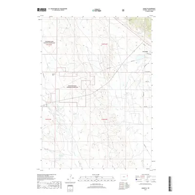
2017 Map of Osage SE
USGS Topo · Published 2017About this map
Newcastle serves as the primary hub in this eastern Wyoming landscape, where the town's southern outskirts meet the open expanses of the Thunder Basin National Grassland. The terrain is defined by a dense network of intermittent watercourses including Skull Cr, Oil Cr, and Beaver Cr, which carve through the high plains. Local water management is evident through the presence of the Shostak Reservoir and Michaels Reservoir, crucial landmarks for land use in this arid environment.
Find a feature on this map
21 named features on this map. Tap any name to fly to it.
Don’t see what you’re looking for? This feature index may not catch every label — zoom into the map to look around manually.
Map Details
Editions of this 2017 Osage SE Map
This is the sole edition of this map. No revisions or reprints were ever made.
Other maps of this area

1899 · Newcastle
USGS Topo · 1:125,000

1901 · Newcastle
USGS Topo · 1:125,000

1951 · Owens
USGS Topo · 1:24,000

1951 · Newcastle
USGS Topo · 1:24,000

1951 · Morrisey NE
USGS Topo · 1:24,000

1951 · Osage SE
USGS Topo · 1:24,000

1955 · Newcastle
USGS Topo · 1:250,000

1958 · Newcastle
USGS Topo · 1:250,000
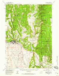
1958 · Newcastle
USGS Topo · 1:62,500
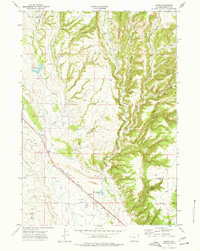
1972 · Pedro
USGS Topo · 1:24,000