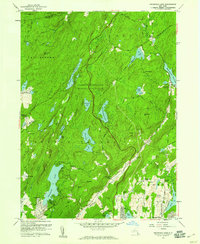
1956 Map of Oscawana Lake
USGS Topo · Published 1959About this map
Clarence Fahnestock Memorial State Park dominates this mid-century landscape in Putnam County, New York, where the Appalachian Trail threads through the high ground of Bushy Ridge and Kiah Hill. The terrain is characterized by a dense concentration of small water bodies and reservoirs, including the prominent Oscawana Lake and the Wiccopee Reservoir. The presence of the Fahnestock Ski Slope and Camp Wiccopee highlights the area's mid-century role as a recreational retreat for the Hudson Valley.
Find a feature on this map
64 named features on this map. Tap any name to fly to it.
Don’t see what you’re looking for? This feature index may not catch every label — zoom into the map to look around manually.
Map Details
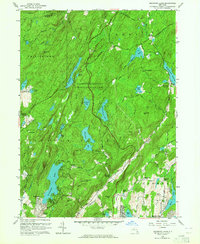
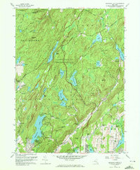
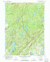
Editions of this 1956 Oscawana Lake Map
4 editions found
Other maps of this area

1892 · West Point
USGS Topo · 1:62,500

1892 · Carmel
USGS Topo · 1:62,500

1893 · Carmel
USGS Topo · 1:62,500

1893 · Clove
USGS Topo · 1:62,500

1893 · Poughkeepsie
USGS Topo · 1:62,500

1894 · West Point
USGS Topo · 1:62,500

1894 · Clove
USGS Topo · 1:62,500

1894 · Carmel
USGS Topo · 1:62,500

1894 · Poughkeepsie
USGS Topo · 1:62,500

1898 · Clove
USGS Topo · 1:62,500