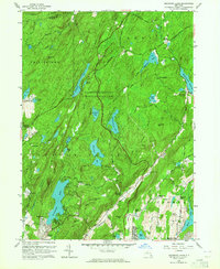
1956 Map of Oscawana Lake
USGS Topo · Published 1964About this map
The rugged landscape of Putnam Valley and Kent is defined by a dense network of mountain peaks and water bodies, centered around the expansive Clarence Fahnestock Memorial State Park. During the mid-1950s, this area retained its character as a highland retreat and mining district, with the Appalachian Trail winding through the terrain past Pelton Pond and Canopus Lake. The map details many small crossroads settlements that served as local anchors, such as Tompkins Corners and Fahnestock Corners.
Find a feature on this map
71 named features on this map. Tap any name to fly to it.
Don’t see what you’re looking for? This feature index may not catch every label — zoom into the map to look around manually.
Map Details
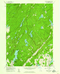
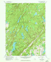
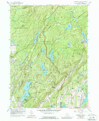
Editions of this 1956 Oscawana Lake Map
4 editions found
Other maps of this area

1892 · West Point
USGS Topo · 1:62,500

1892 · Carmel
USGS Topo · 1:62,500

1893 · Carmel
USGS Topo · 1:62,500

1893 · Clove
USGS Topo · 1:62,500

1893 · Poughkeepsie
USGS Topo · 1:62,500

1894 · West Point
USGS Topo · 1:62,500

1894 · Clove
USGS Topo · 1:62,500

1894 · Carmel
USGS Topo · 1:62,500

1894 · Poughkeepsie
USGS Topo · 1:62,500

1898 · Clove
USGS Topo · 1:62,500