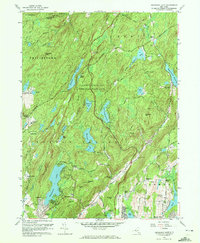
1956 Map of Oscawana Lake
USGS Topo · Published 1972About this map
Clarence Fahnestock Memorial State Park dominates this mid-century landscape in Putnam County, where the transition from rural crossroads to suburban development is underway. The map records a dense network of water bodies, including the large Oscawana Lake and Roaring Brook Lake, alongside smaller features like Pelton Pond and Lake Tibet. Settlement patterns are defined by historic junctions such as Kent Cliffs, Meads Corners, and Tompkins Corners, many situated along the winding Peekskill Hollow Road.
Find a feature on this map
84 named features on this map. Tap any name to fly to it.
Don’t see what you’re looking for? This feature index may not catch every label — zoom into the map to look around manually.
Map Details
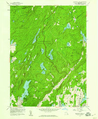
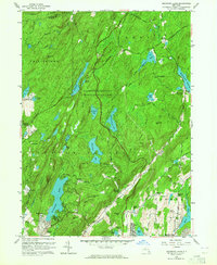
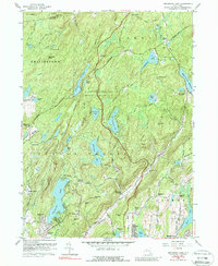
Editions of this 1956 Oscawana Lake Map
4 editions found
Other maps of this area

1892 · West Point
USGS Topo · 1:62,500

1892 · Carmel
USGS Topo · 1:62,500

1893 · Carmel
USGS Topo · 1:62,500

1893 · Clove
USGS Topo · 1:62,500

1893 · Poughkeepsie
USGS Topo · 1:62,500

1894 · West Point
USGS Topo · 1:62,500

1894 · Clove
USGS Topo · 1:62,500

1894 · Carmel
USGS Topo · 1:62,500

1894 · Poughkeepsie
USGS Topo · 1:62,500

1898 · Clove
USGS Topo · 1:62,500