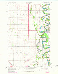
1966 Map of Oslo
USGS Topo · Published 1980About this map
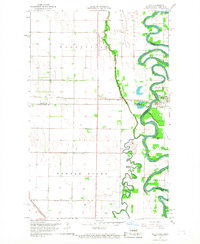
The Red River meanders sharply along the border of Minnesota and North Dakota, defining the landscape of this 1966 survey. The town of Oslo serves as a primary hub where the Soo Line railroad crosses the water, supported by the presence of Riverside Cem and a dedicated park. The surrounding prairie is divided into distinct townships such as Oak Park, Walshville, Higdem, and Turtle River, reflecting the organized agricultural settlement of the Red River Valley.
Find a feature on this map
22 named features on this map. Tap any name to fly to it.
Don’t see what you’re looking for? This feature index may not catch every label — zoom into the map to look around manually.
Map Details
Editions of this 1966 Oslo Map
3 editions found
Other maps of this area

1918 · Acton
USGS Topo · 1:62,500

1926 · Ardoch
USGS Topo · 1:62,500

1943 · Grafton
USGS Topo · 1:62,500

1952 · Thief River Falls
USGS Topo · 1:250,000

1956 · Thief River Falls
USGS Topo · 1:250,000

1957 · Thief River Falls
USGS Topo · 1:250,000
1966 · Oslo NE
USGS Topo · 1:24,000
1966 · Big Woods
USGS Topo · 1:24,000
1966 · Oslo
USGS Topo · 1:24,000
1966 · Oslo SE
USGS Topo · 1:24,000