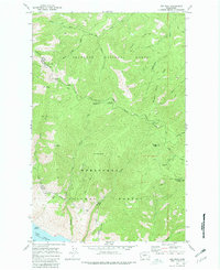
1968 Map of Oss Peak
USGS Topo · Published 1981About this map
Oss Peak and the high ridges of the North Cascades define this landscape where the Okanogan National Forest meets the Wenatchee National Forest. The map documents a rugged timber and backcountry region during the late 1960s, marked by a network of specialized infrastructure such as the Grade Aqueduct and Siphon systems near Mitchell Creek. Water sources like Alder Spring and Poison Springs are critical landmarks in this high-elevation terrain.
Find a feature on this map
40 named features on this map. Tap any name to fly to it.
Don’t see what you’re looking for? This feature index may not catch every label — zoom into the map to look around manually.
Map Details
Editions of this 1968 Oss Peak Map
4 editions found
Other maps of this area

1899 · Methow
USGS Topo · 1:125,000

1901 · Chelan
USGS Topo · 1:125,000

1901 · Methow
USGS Topo · 1:125,000

1955 · Concrete
USGS Topo · 1:250,000

1957 · Wenatchee
USGS Topo · 1:250,000

1958 · Concrete
USGS Topo · 1:250,000

1962 · Concrete
USGS Topo · 1:250,000

1968 · South Navarre Peak
USGS Topo · 1:24,000
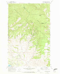
1968 · Cooper Ridge
USGS Topo · 1:24,000
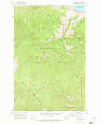
1968 · Stormy Mtn.
USGS Topo · 1:24,000