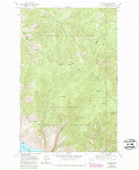
1968 Map of Oss Peak
USGS Topo · Published 1987About this map
Lake Chelan defines the southwestern corner of this survey, where the small landing at Dutch Harbor sits at the base of the steep Cascades. The map documents a complex system of hydraulic infrastructure, most notably the Siphon Grade and Aqueduct Road, which trace the contours of the mountains to manage water across the demanding terrain. These engineering features represent the mid-century efforts to harness the region's steep hydrology for local utility.
Find a feature on this map
37 named features on this map. Tap any name to fly to it.
Don’t see what you’re looking for? This feature index may not catch every label — zoom into the map to look around manually.
Map Details
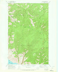
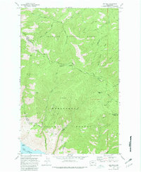
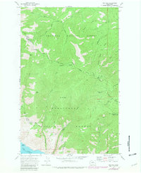
Editions of this 1968 Oss Peak Map
4 editions found
Other maps of this area

1899 · Methow
USGS Topo · 1:125,000

1901 · Chelan
USGS Topo · 1:125,000

1901 · Methow
USGS Topo · 1:125,000

1955 · Concrete
USGS Topo · 1:250,000

1957 · Wenatchee
USGS Topo · 1:250,000

1958 · Concrete
USGS Topo · 1:250,000

1962 · Concrete
USGS Topo · 1:250,000

1968 · South Navarre Peak
USGS Topo · 1:24,000
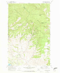
1968 · Cooper Ridge
USGS Topo · 1:24,000
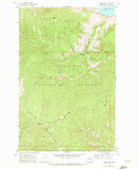
1968 · Stormy Mtn.
USGS Topo · 1:24,000