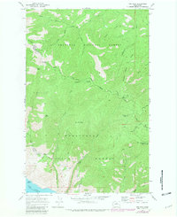
1968 Map of Oss Peak
USGS Topo · Published 1981About this map
The rugged heights of Oss Peak and Parrish Peak define this high-altitude landscape where the Okanogan National Forest meets the Wenatchee National Forest. At the southern edge of the sheet, the deep waters of Lake Chelan emerge, marked by Dutch Harbor and the Grace Aqueduct. This terrain is characterized by steep ridges like McFarland Ridge and Sawtooth Ridge, which separate a complex network of drainages including Fisher Creek and Poison Creek.
Find a feature on this map
41 named features on this map. Tap any name to fly to it.
Don’t see what you’re looking for? This feature index may not catch every label — zoom into the map to look around manually.
Map Details
Editions of this 1968 Oss Peak Map
4 editions found
Other maps of this area

1899 · Methow
USGS Topo · 1:125,000

1901 · Chelan
USGS Topo · 1:125,000

1901 · Methow
USGS Topo · 1:125,000

1955 · Concrete
USGS Topo · 1:250,000

1957 · Wenatchee
USGS Topo · 1:250,000

1958 · Concrete
USGS Topo · 1:250,000

1962 · Concrete
USGS Topo · 1:250,000

1968 · South Navarre Peak
USGS Topo · 1:24,000
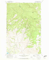
1968 · Cooper Ridge
USGS Topo · 1:24,000
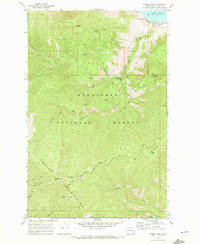
1968 · Stormy Mtn.
USGS Topo · 1:24,000