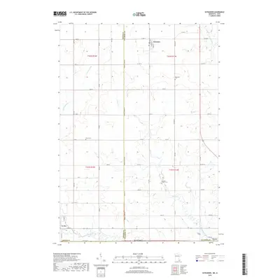
2019 Map of Ostrander
USGS Topo · Published 2019About this map
The Upper Iowa River winds along the southern edge of this landscape, marking the border between Mower Co and Fillmore Co as it approaches the state line. This region is defined by a dense grid of township roads and county highways that connect the established communities of Ostrander, Le Roy, and the small settlement of Chester. The drainage patterns of Beaver Cr and the Little Iowa River dictate the local topography, carving shallow valleys through the agricultural uplands.
Find a feature on this map
56 named features on this map. Tap any name to fly to it.
Don’t see what you’re looking for? This feature index may not catch every label — zoom into the map to look around manually.
Map Details
Editions of this 2019 Ostrander Map
This is the sole edition of this map. No revisions or reprints were ever made.
Other maps of this area

1954 · Mason City
USGS Topo · 1:250,000

1957 · Mason City
USGS Topo · 1:250,000

1958 · Mason City
USGS Topo · 1:250,000

1965 · Le Roy
USGS Topo · 1:24,000

1965 · Wykoff
USGS Topo · 1:24,000

1965 · Spring Valley
USGS Topo · 1:24,000

1965 · Grand Meadow
USGS Topo · 1:24,000

1965 · Ostrander
USGS Topo · 1:24,000

1965 · Cherry Grove
USGS Topo · 1:24,000

1972 · Mc Intire
USGS Topo · 1:24,000