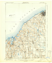
1900 Map of Oswego
USGS Topo · Published 1932About this map
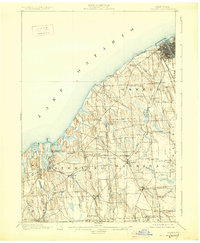
Fort Ontario stands at the mouth of the Oswego River, anchoring a strategic shoreline where industrial and rail activity meets Lake Ontario. In the late nineteenth century, this landscape was a complex network of agriculture and transport, dominated by the Rome Watertown and Ogdensburg Railroad and the New York Central and Hudson River Railroad (Auburn Division). Moving inland from the lake, the terrain transitions into the drumlin-dotted townships of Sterling and Hannibal, where small hamlets like Sterling Valley and Hannibal Center thrived. The coastal geography is defined by deep inlets such as Little Sodus Bay and Blind Sodus Bay, providing natural harbors that supported the region's shipping and maritime interests. This detailed 1898 survey captures the dense settlement patterns of rural Oswego and Cayuga counties before modern development reshaped the lakefront.
Find a feature on this map
59 named features on this map. Tap any name to fly to it.
Don’t see what you’re looking for? This feature index may not catch every label — zoom into the map to look around manually.
Map Details
Editions of this 1900 Oswego Map
8 editions found
Other maps of this area

1900 · Baldwinsville
USGS Topo · 1:62,500

1900 · Oswego
USGS Topo · 1:62,500

1900 · Fulton
USGS Topo · 1:62,500

1902 · Sodus Bay
USGS Topo · 1:62,500

1902 · Clyde
USGS Topo · 1:62,500

1902 · Weedsport
USGS Topo · 1:62,500

1943 · Oswego East
USGS Topo · 1:31,680

1943 · Lysander
USGS Topo · 1:31,680

1943 · Oswego West
USGS Topo · 1:31,680

1943 · Cato
USGS Topo · 1:31,680