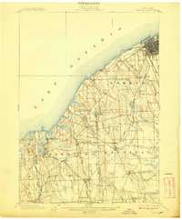
1900 Map of Oswego
USGS Topo · Published 1908About this map
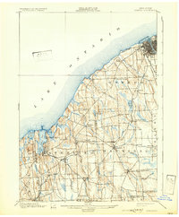
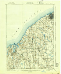
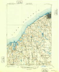
Oswego serves as a major maritime and rail hub along the southern shore of Lake Ontario at the turn of the century. The town is anchored by Fort Ontario at the mouth of the river, with a dense urban grid and an Electric Railroad extending westward into Fruit Valley. The landscape is dominated by glacial drumlins, creating a series of north-south ridges that influence the path of numerous waterways like Rice Creek and Eightmile Creek.
Find a feature on this map
53 named features on this map. Tap any name to fly to it.
Don’t see what you’re looking for? This feature index may not catch every label — zoom into the map to look around manually.
Map Details
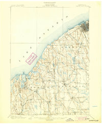
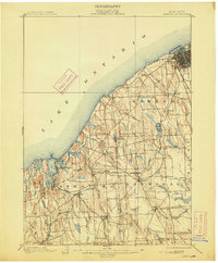
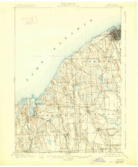
Editions of this 1900 Oswego Map
8 editions found
Other maps of this area

1900 · Baldwinsville
USGS Topo · 1:62,500

1900 · Oswego
USGS Topo · 1:62,500

1900 · Fulton
USGS Topo · 1:62,500

1902 · Sodus Bay
USGS Topo · 1:62,500

1902 · Clyde
USGS Topo · 1:62,500

1902 · Weedsport
USGS Topo · 1:62,500

1943 · Oswego East
USGS Topo · 1:31,680

1943 · Lysander
USGS Topo · 1:31,680

1943 · Oswego West
USGS Topo · 1:31,680

1943 · Cato
USGS Topo · 1:31,680