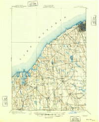
1900 Map of Oswego
USGS Topo · Published 1948About this map
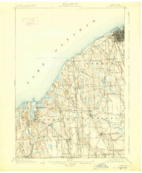
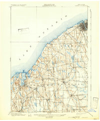
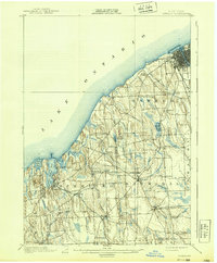
Fort Ontario stands prominently at the mouth of the river, anchoring the city of Oswego during a period of significant industrial and maritime activity along the southern shore of Lake Ontario. This 1898 survey shows a landscape defined by its complex transportation network, where the Rome Watertown and Ogdensburg railroad and the Electric Railroad facilitated trade and movement between growing lakeside hubs.
Find a feature on this map
58 named features on this map. Tap any name to fly to it.
Don’t see what you’re looking for? This feature index may not catch every label — zoom into the map to look around manually.
Map Details
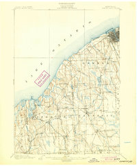
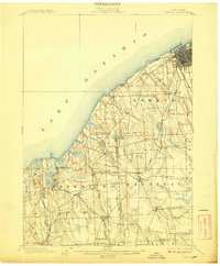
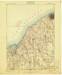
Editions of this 1900 Oswego Map
8 editions found
Other maps of this area

1900 · Baldwinsville
USGS Topo · 1:62,500

1900 · Oswego
USGS Topo · 1:62,500

1900 · Fulton
USGS Topo · 1:62,500

1902 · Sodus Bay
USGS Topo · 1:62,500

1902 · Clyde
USGS Topo · 1:62,500

1902 · Weedsport
USGS Topo · 1:62,500

1943 · Oswego East
USGS Topo · 1:31,680

1943 · Lysander
USGS Topo · 1:31,680

1943 · Oswego West
USGS Topo · 1:31,680

1943 · Cato
USGS Topo · 1:31,680