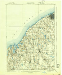
1900 Map of Oswego
USGS Topo · Published 1939About this map
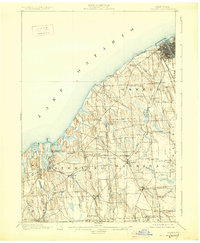
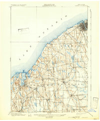
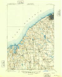
Oswego and its bustling harbor on Lake Ontario anchor the northeastern corner of this turn-of-the-century survey, which reveals a landscape deeply connected by competing rail lines. The Rome Watertown and Ogdensburg Line and the Electric Railroad serve the lakefront, while the Lehigh Valley and Auburn Division cut through the inland townships of Sterling and Hannibal. Small crossroads and farming communities like Fruit Valley, Oswego Center, and Hannibal Center are shown in their late Victorian configuration, often centered on rail stops or post offices.
Find a feature on this map
54 named features on this map. Tap any name to fly to it.
Don’t see what you’re looking for? This feature index may not catch every label — zoom into the map to look around manually.
Map Details
Editions of this 1900 Oswego Map
8 editions found
Other maps of this area

1900 · Baldwinsville
USGS Topo · 1:62,500

1900 · Oswego
USGS Topo · 1:62,500

1900 · Fulton
USGS Topo · 1:62,500

1902 · Sodus Bay
USGS Topo · 1:62,500

1902 · Clyde
USGS Topo · 1:62,500

1902 · Weedsport
USGS Topo · 1:62,500

1943 · Oswego East
USGS Topo · 1:31,680

1943 · Lysander
USGS Topo · 1:31,680

1943 · Oswego West
USGS Topo · 1:31,680

1943 · Cato
USGS Topo · 1:31,680