
1900 Map of Oswego
USGS Topo · Published 1900About this map
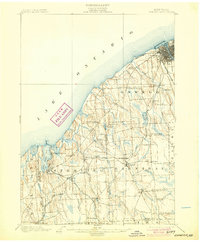
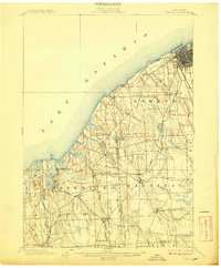
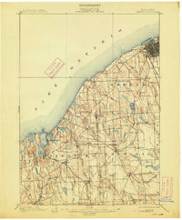
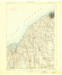
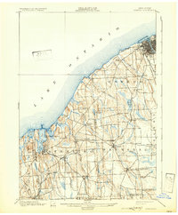
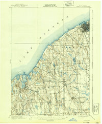
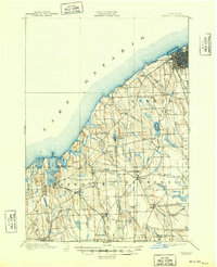
Oswego and the neighboring townships of Sterling and Hannibal are defined by a complex network of late-nineteenth-century rail infrastructure and the jagged shoreline of Lake Ontario. The industrial and strategic importance of the lakefront is anchored by Fort Ontario at the mouth of the Oswego River, where the Lackawanna and Western R. R. and New York Central and Hudson River R. R. converge to serve the port.
Find a feature on this map
55 named features on this map. Tap any name to fly to it.
Don’t see what you’re looking for? This feature index may not catch every label — zoom into the map to look around manually.
Map Details
Editions of this 1900 Oswego Map
8 editions found
Other maps of this area

1900 · Baldwinsville
USGS Topo · 1:62,500

1900 · Fulton
USGS Topo · 1:62,500

1902 · Sodus Bay
USGS Topo · 1:62,500

1902 · Clyde
USGS Topo · 1:62,500

1902 · Weedsport
USGS Topo · 1:62,500

1943 · Oswego East
USGS Topo · 1:31,680

1943 · Lysander
USGS Topo · 1:31,680

1943 · Oswego West
USGS Topo · 1:31,680

1943 · Cato
USGS Topo · 1:31,680

1943 · Hannibal
USGS Topo · 1:31,680