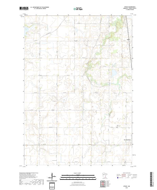
2022 Map of Otisco
USGS Topo · Published 2022About this map
The Le Sueur River and its meandering tributaries, including Bull Run Cr and Boot Cr, define the drainage patterns of this Waseca County landscape. This 2022 survey captures the rural character of the region, where organized section lines and county roads like Co RD 64 and Co RD 51 frame a patchwork of agricultural fields and wetland pockets. The small community of Otisco sits in the northeast, while the northern edge of New Richland appears in the southeast corner. Local history and genealogy are anchored by features like Saint Peter Cem, located central to the township divisions. The presence of Silver Lake in the northwest corner, along with the winding course of the river, suggests the glaciated terrain typical of south-central Minnesota. Well-established routes such as Wilton River RD and Wilton Bridge RD connect these dispersed agricultural settlements.
Find a feature on this map
32 named features on this map. Tap any name to fly to it.
Don’t see what you’re looking for? This feature index may not catch every label — zoom into the map to look around manually.
Map Details
Editions of this 2022 Otisco Map
This is the sole edition of this map. No revisions or reprints were ever made.
Other maps of this area

1953 · Saint Paul
USGS Topo · 1:250,000

1954 · Mason City
USGS Topo · 1:250,000

1957 · Mason City
USGS Topo · 1:250,000

1958 · Mason City
USGS Topo · 1:250,000

1959 · Saint Paul
USGS Topo · 1:250,000

1962 · Meriden
USGS Topo · 1:24,000

1966 · Waseca
USGS Topo · 1:24,000

1966 · Janesville
USGS Topo · 1:24,000

1967 · Waldorf
USGS Topo · 1:24,000

1967 · Freeborn
USGS Topo · 1:24,000