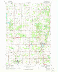
1969 Map of Otisville
USGS Topo · Published 1971About this map
Otisville serves as the primary hub of this landscape, situated at the junction of several critical water bodies including Sand Lake, Dock Lake, and McCormick Lake. The village's development is closely tied to the Chesapeake and Ohio Railroad, which cuts through the southern sections near Rogersville. To the north, the terrain transitions into the agricultural lands of Arbela and Millington, where rural life is anchored by landmarks like East Arbela Ch and the Township Cem.
Find a feature on this map
50 named features on this map. Tap any name to fly to it.
Don’t see what you’re looking for? This feature index may not catch every label — zoom into the map to look around manually.
Map Details
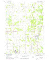
Editions of this 1969 Otisville Map
2 editions found
Other maps of this area

1920 · Flint
USGS Topo · 1:62,500

1922 · Flint
USGS Topo · 1:62,500

1943 · Flint
USGS Topo · 1:62,500

1954 · Flint
USGS Topo · 1:250,000

1958 · Flint
USGS Topo · 1:250,000

1963 · Columbiaville
USGS Topo · 1:24,000

1963 · Frankenmuth
USGS Topo · 1:24,000

1963 · Elba
USGS Topo · 1:24,000

1963 · Vassar
USGS Topo · 1:24,000

1963 · Juniata
USGS Topo · 1:24,000
Featured Places
- Otisville, Forest Township
- Forest Township, MI
- Millington Township, MI
- Thetford Township, MI
- Arbela Township, MI