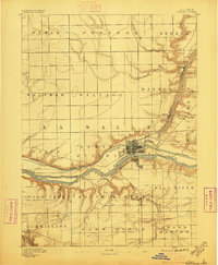
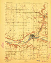
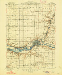
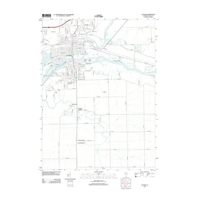
1892 Map of Ottawa
USGS Topo · Published 1896About this map
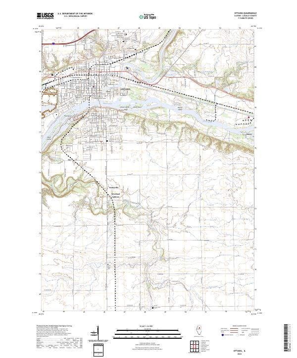
The city of Ottawa sits at the vital confluence of the Illinois River and the Michigan and Illinois Canal, serving as a late-19th-century hub of transport and commerce in La Salle County. This survey highlights a landscape defined by deep-cut watercourses and a sophisticated rail network, where the Chicago Rock Island and Pacific Railway and the Chicago Burlington and Quincy Railway converge on the city. Beyond the urban center, the map details established rural communities such as Prairie Centre, Dayton, and Wedron. The intricate topography around Rock Island and the various creek systems, including Indian Creek and Buck Creek, reveal the complex drainage patterns that shaped local development and agriculture before the modern era of highway expansion.
Find a feature on this map
31 named features on this map. Tap any name to fly to it.
Don’t see what you’re looking for? This feature index may not catch every label — zoom into the map to look around manually.
Map Details
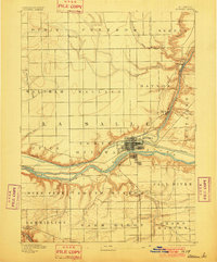
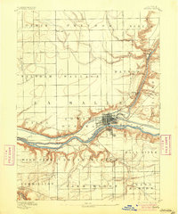
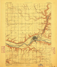
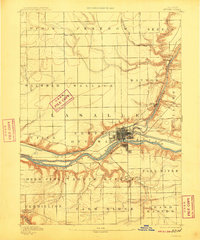
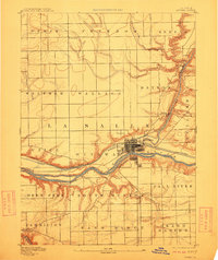
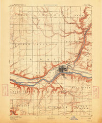
Editions of this 1892 Ottawa Map
9 editions found

Historical Maps of Dayton Through Time
12 maps found
1892 Ottawa
LaSalle County, IL
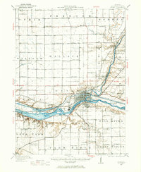
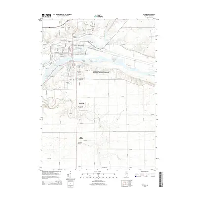
1915 Ottawa
LaSalle County, IL
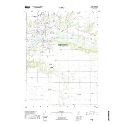
1946 Ottawa
LaSalle County, IL
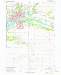
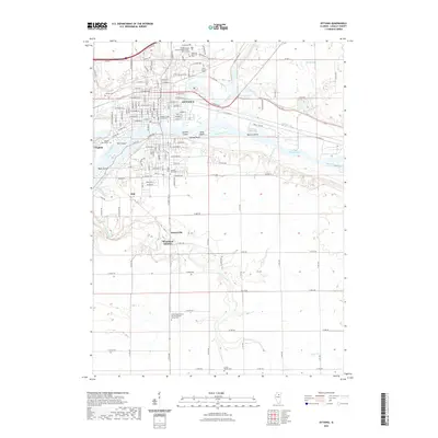
1970 Ottawa
LaSalle County, IL

1985 Ottawa
LaSalle County, IL

1991 Ottawa
LaSalle County, IL
1994 Ottawa
LaSalle County, IL
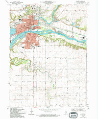
2012 Ottawa
LaSalle County, IL
2015 Ottawa
LaSalle County, IL
2018 Ottawa
LaSalle County, IL
2021 Ottawa
LaSalle County, IL
2024 Ottawa
LaSalle County, IL