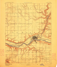
1892 Map of Ottawa
USGS Topo · Published 1912About this map
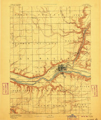
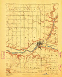
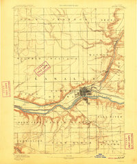
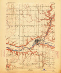
The confluence of the Fox River and Illinois River serves as the industrial and transport heart of this late 19th-century Illinois landscape. Ottawa sits at this critical junction, where the historic Illinois and Michigan Canal runs parallel to the riverbanks, predating the modern deep waterway. The map captures the complex rail infrastructure of the era, featuring the Chicago Burlington and Quincy Railway and the Chicago Rock Island and Pacific Railway as they navigate the river bluffs and drainage systems like Covel Creek and Buck Creek. Outside the primary hub, the surrounding prairie is divided into distinct civil townships such as Utica, Wallace, and Deer Park, with smaller settlements like Wedron and Prairie Center providing points of interest for genealogists tracing local family lineage in the fertile farm ridge of La Salle County.
Find a feature on this map
35 named features on this map. Tap any name to fly to it.
Don’t see what you’re looking for? This feature index may not catch every label — zoom into the map to look around manually.
Map Details
Editions of this 1892 Ottawa Map
9 editions found
Other maps of this area

1892 · Marseilles
USGS Topo · 1:62,500

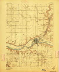
1892 · Ottawa
USGS Topo · 1:62,500

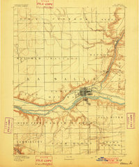
1893 · Lasalle
USGS Topo · 1:62,500

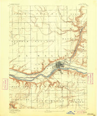
1911 · La Salle
USGS Topo · 1:62,500

1913 · La Salle
USGS Topo · 1:62,500

1915 · Ottawa
USGS Topo · 1:62,500

1916 · Marseilles
USGS Topo · 1:62,500

1925 · Streator
USGS Topo · 1:62,500

1927 · Streator
USGS Topo · 1:62,500

1934 · Wenona
USGS Topo · 1:48,000