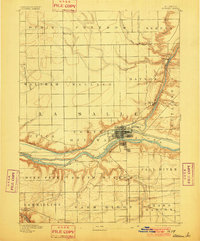
1892 Map of Ottawa
USGS Topo · Published 1901About this map
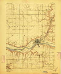
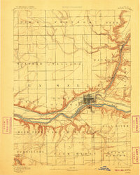
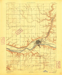
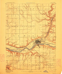
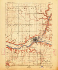
The Illinois River corridor dominates this late-nineteenth-century landscape, where the confluence of the Vermillion River and various creeks created a hub for early transport and industry. Ottawa sits at the center of a sophisticated network of waterways and steel, defined by the parallel courses of the Illinois and Michigan Canal and the Chicago Rock Island and Pacific Railway. This map reveals the transition from water-based transit to the dominant rail era, with the Chicago Burlington and Quincy Railroad cutting north-south through the terrain. Away from the river bluffs, the grid-like organization of townships like Waltham, Wallace, and Freedom shows the agricultural expansion of La Salle County. Small settlements such as Wedron, Dayton, and Vermillionville appear at vital water crossings and rail junctions, providing essential context for researchers tracing the development of north-central Illinois.
Find a feature on this map
34 named features on this map. Tap any name to fly to it.
Don’t see what you’re looking for? This feature index may not catch every label — zoom into the map to look around manually.
Map Details
Editions of this 1892 Ottawa Map
9 editions found
Other maps of this area

1892 · Marseilles
USGS Topo · 1:62,500

1892 · Ottawa
USGS Topo · 1:62,500

1893 · Lasalle
USGS Topo · 1:62,500

1911 · La Salle
USGS Topo · 1:62,500

1913 · La Salle
USGS Topo · 1:62,500

1915 · Ottawa
USGS Topo · 1:62,500

1916 · Marseilles
USGS Topo · 1:62,500

1925 · Streator
USGS Topo · 1:62,500

1927 · Streator
USGS Topo · 1:62,500

1934 · Wenona
USGS Topo · 1:48,000