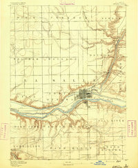
1892 Map of Ottawa
USGS Topo · Published 1892About this map
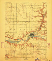
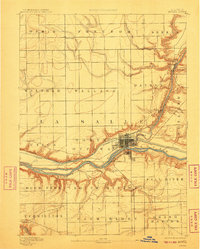
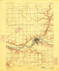
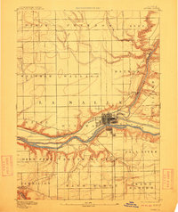
The confluence of the Illinois River and its varied tributaries dominates this 1890 survey, showing a landscape defined by industrial waterways and early rail expansion. Ottawa serves as the central hub, where the Illinois and Michigan Canal runs parallel to the river, a critical artery for mid-19th-century commerce. The map meticulously records the township boundaries of North Ottawa, South Ottawa, and Dayton, illustrating how the land was carved into functional agricultural and transport sectors.
Find a feature on this map
32 named features on this map. Tap any name to fly to it.
Don’t see what you’re looking for? This feature index may not catch every label — zoom into the map to look around manually.
Map Details
Editions of this 1892 Ottawa Map
9 editions found
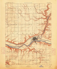
Other maps of this area
1892 · Marseilles
USGS Topo · 1:62,500
1893 · Lasalle
USGS Topo · 1:62,500
1911 · La Salle
USGS Topo · 1:62,500
1913 · La Salle
USGS Topo · 1:62,500
1915 · Ottawa
USGS Topo · 1:62,500
1916 · Marseilles
USGS Topo · 1:62,500
1925 · Streator
USGS Topo · 1:62,500
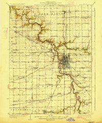
1927 · Streator
USGS Topo · 1:62,500
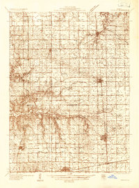
1934 · Wenona
USGS Topo · 1:48,000
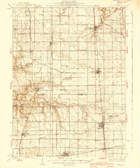
1939 · Wenona
USGS Topo · 1:62,500