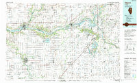
1991 Map of Ottawa
USGS Topo · Published 1991About this map
The Illinois River corridor defines the industrial and natural geography of this region, connecting established manufacturing centers like Ottawa and Morris with the wide expanses of the Goose Lake Prairie State Park. This 1991 revision reveals a landscape heavily influenced by large-scale extraction and resource management, visible in the numerous Strip Mine operations scattered between Braidwood and Morris. The convergence of the Des Plaines River and Kankakee River creates a complex hydrologic network protected by the Des Plaines Wildlife Conservation Area. Away from the river valleys, the grid of the Illinois prairie is punctuated by rail-oriented settlements like Dwight, Odell, and Streator. The presence of several major rail lines, including the Atchison Topeka & Santa Fe RR and Chicago Rock Island & Pacific RR, underscores the area's enduring role as a central transportation hub between Chicago and the southern Illinois plains.
Find a feature on this map
216 named features on this map. Tap any name to fly to it.
Don’t see what you’re looking for? This feature index may not catch every label — zoom into the map to look around manually.
Map Details
Editions of this 1991 Ottawa Map
This is the sole edition of this map. No revisions or reprints were ever made.
Other maps of this area

1890 · Des Plaines
USGS Topo · 1:62,500
1892 · Morris
USGS Topo · 1:62,500
1892 · Marseilles
USGS Topo · 1:62,500

1892 · Joliet
USGS Topo · 1:62,500
1892 · Wilmington
USGS Topo · 1:62,500
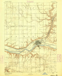
1892 · Ottawa
USGS Topo · 1:62,500
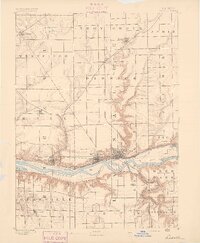
1893 · Lasalle
USGS Topo · 1:62,500

1894 · Des Plaines
USGS Topo · 1:62,500

1900 · Des Plaines
USGS Topo · 1:62,500
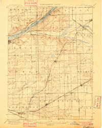
1901 · Des Plaines
USGS Topo · 1:62,500