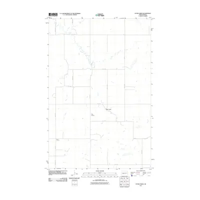
2011 Map of Otter Creek
USGS Topo · Published 2011About this map
Otter Creek winds through this rural landscape in Oliver County, creating a distinct riparian pattern against the rigid grid of North Dakota's section lines. The map reveals a sparsely populated agricultural region defined by expansive reaches and a network of gravel roads such as 53rd Ave SW and 21st St SW. For those researching local family histories, the inclusion of the Otter Creek Cemetery and Moos Cemetery provides critical geographic data points for genealogy. The placement of these cemeteries, often the last remaining identifiers of earlier community clusters, highlights the intersection of family heritage and the geography of the Great Plains during the early 21st century.
Find a feature on this map
16 named features on this map. Tap any name to fly to it.
Don’t see what you’re looking for? This feature index may not catch every label — zoom into the map to look around manually.
Map Details
Editions of this 2011 Otter Creek Map
This is the sole edition of this map. No revisions or reprints were ever made.
Other maps of this area

1954 · Bismarck
USGS Topo · 1:250,000

1954 · McClusky
USGS Topo · 1:250,000

1958 · Bismarck
USGS Topo · 1:250,000

1958 · McClusky
USGS Topo · 1:250,000

1968 · Red Butte
USGS Topo · 1:24,000

1968 · Red Butte NW
USGS Topo · 1:24,000

1968 · Hannover NW
USGS Topo · 1:24,000

1970 · Bluegrass
USGS Topo · 1:24,000

1970 · New Salem NW
USGS Topo · 1:24,000

1970 · Hailstone Butte
USGS Topo · 1:24,000