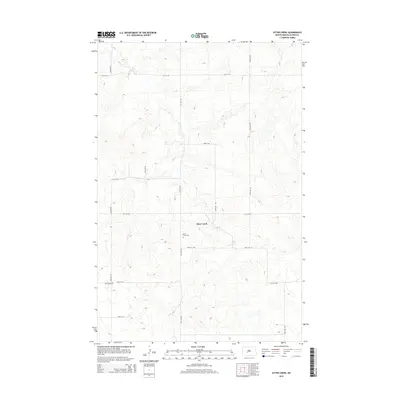
2014 Map of Otter Creek
USGS Topo · Published 2014About this map
Otter Creek meanders through this portion of Oliver County, following a winding course that dictates the local geography. The rural landscape of Otter Creek is defined by its section-line road network, where routes like 25th St SW and 51st Ave SW provide access to the area's agricultural homesteads. Genealogists and local historians will find significant interest in the presence of the Otter Creek Cem and Moos Cem, which serve as vital markers of the families who settled this prairie region. The map illustrates a contemporary view of this sparsely populated township, showing the enduring reliance on traditional transport corridors that align with the original land survey grids.
Find a feature on this map
17 named features on this map. Tap any name to fly to it.
Don’t see what you’re looking for? This feature index may not catch every label — zoom into the map to look around manually.
Map Details
Editions of this 2014 Otter Creek Map
This is the sole edition of this map. No revisions or reprints were ever made.
Other maps of this area
1954 · Bismarck
USGS Topo · 1:250,000
1954 · McClusky
USGS Topo · 1:250,000
1958 · Bismarck
USGS Topo · 1:250,000
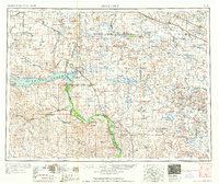
1958 · McClusky
USGS Topo · 1:250,000
1968 · Red Butte
USGS Topo · 1:24,000
1968 · Red Butte NW
USGS Topo · 1:24,000
1968 · Hannover NW
USGS Topo · 1:24,000
1970 · Bluegrass
USGS Topo · 1:24,000
1970 · New Salem NW
USGS Topo · 1:24,000
1970 · Hailstone Butte
USGS Topo · 1:24,000