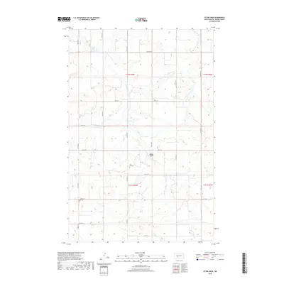
2018 Map of Otter Creek
USGS Topo · Published 2018About this map
Otter Creek meanders through the heart of this Oliver County landscape, defining the topography of the Missouri Plateau in the late 2010s. The area is characterized by a high-density grid of section-line roads, such as 21st St SW and Hannover Rd, which facilitate access to the scattered farmsteads and agricultural plots that dominate the terrain. Significant for genealogical research, the map identifies local burial grounds including Otter Creek Cem and the more westerly Moos Cem. These sites, along with the clearly marked township and range boundaries like t142n r86w, provide a precise spatial framework for tracing early 21st-century land ownership and family history in this rural North Dakota community.
Find a feature on this map
17 named features on this map. Tap any name to fly to it.
Don’t see what you’re looking for? This feature index may not catch every label — zoom into the map to look around manually.
Map Details
Editions of this 2018 Otter Creek Map
This is the sole edition of this map. No revisions or reprints were ever made.
Other maps of this area
1954 · Bismarck
USGS Topo · 1:250,000
1954 · McClusky
USGS Topo · 1:250,000
1958 · Bismarck
USGS Topo · 1:250,000
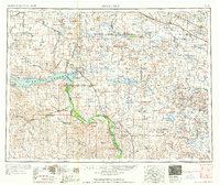
1958 · McClusky
USGS Topo · 1:250,000
1968 · Red Butte
USGS Topo · 1:24,000
1968 · Red Butte NW
USGS Topo · 1:24,000
1968 · Hannover NW
USGS Topo · 1:24,000
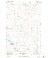
1970 · Bluegrass
USGS Topo · 1:24,000
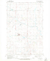
1970 · New Salem NW
USGS Topo · 1:24,000
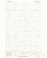
1970 · Hailstone Butte
USGS Topo · 1:24,000