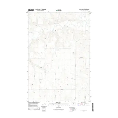
2014 Map of Otter Creek West
USGS Topo · Published 2014About this map
Curlew Valley and the winding course of the Heart River define the northern portion of this landscape in North Dakota's Grant County. The area is characterized by a series of prominent topographic landmarks, including Devils Butte and Point Butte, which rise above a network of erosion-carved drainages such as Griner Coulee, Snake Coulee, and Pony Coulee. This 2014 survey documents the enduring rural structure of the region, where a precise grid of section roads like 50th Ave SW and 60th St SW facilitates transit across the open terrain. The Otter Creek Cem sits centrally, serving as a significant genealogical point of interest for researchers tracing families settled near Otter Cr and Snake Cr.
Find a feature on this map
24 named features on this map. Tap any name to fly to it.
Don’t see what you’re looking for? This feature index may not catch every label — zoom into the map to look around manually.
Map Details
Editions of this 2014 Otter Creek West Map
This is the sole edition of this map. No revisions or reprints were ever made.
Other maps of this area
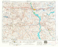
1954 · Bismarck
USGS Topo · 1:250,000
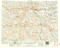
1958 · Bismarck
USGS Topo · 1:250,000
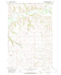
1980 · Otter Creek West
USGS Topo · 1:24,000
1980 · Green Ridge
USGS Topo · 1:24,000
1980 · Otter Creek East
USGS Topo · 1:24,000
1980 · Crown Butte Creek SE
USGS Topo · 1:24,000
1980 · Almont East
USGS Topo · 1:24,000
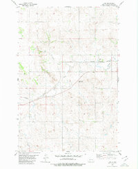
1980 · Lark
USGS Topo · 1:24,000
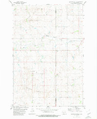
1980 · Dogtooth Buttes
USGS Topo · 1:24,000
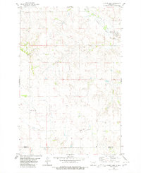
1980 · Almont West
USGS Topo · 1:24,000