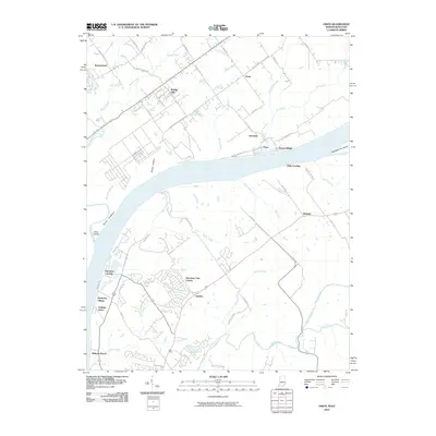
2010 Map of Owen
USGS Topo · Published 2010About this map
The Ohio River carves a significant boundary through this landscape, separating the residential clusters of northern Kentucky from the rural reaches of southern Indiana. On the Indiana side, small communities like Vesta, Germany, and Runyantown are connected by a network of winding roads such as Charlestown Bethlehem Rd and Tunnel Mill Rd. The terrain is marked by distinctive natural features including Devils Backbone and Rabbit Hollow, while Eighteenmile Island sits prominently in the river channel.
Find a feature on this map
62 named features on this map. Tap any name to fly to it.
Don’t see what you’re looking for? This feature index may not catch every label — zoom into the map to look around manually.
Map Details
Editions of this 2010 Owen Map
This is the sole edition of this map. No revisions or reprints were ever made.
Other maps of this area

1905 · Prospect
USGS Topo · 1:62,500

1912 · Prospect
USGS Topo · 1:62,500

1932 · La Grange
USGS Topo · 1:62,500

1937 · Jeffersonville
USGS Topo · 1:24,000

1937 · Charlestown
USGS Topo · 1:24,000

1938 · Owen
USGS Topo · 1:24,000

1939 · Bethlehem
USGS Topo · 1:24,000

1946 · Jeffersonville
USGS Topo · 1:24,000

1948 · Bethlehem
USGS Topo · 1:24,000

1948 · Owen
USGS Topo · 1:24,000