
1952 Map of Owingsville
USGS Topo · Published 1953About this map
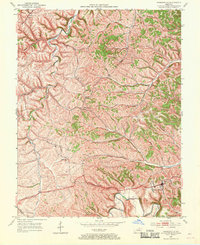
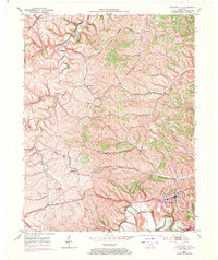
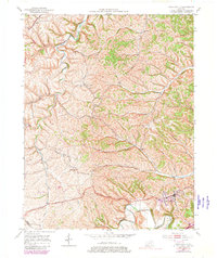
Owingsville serves as the focal point of this 1950s survey, situated along the historic Midland Trail near the southern edge of the quadrangle. The landscape is defined by the winding paths of Slate Creek and Flat Creek, which carve through the undulating terrain of Bath County. This era reveals a rural community supported by a network of local institutions, including Mt Pleasant Ch and White Oak Ch. The distribution of family-named landmarks such as Hendricks Cem and the Naylor Cem provides essential data for genealogical research into the area's established families.
Find a feature on this map
33 named features on this map. Tap any name to fly to it.
Don’t see what you’re looking for? This feature index may not catch every label — zoom into the map to look around manually.
Map Details
Editions of this 1952 Owingsville Map
4 editions found
Other maps of this area

1929 · Salt Lick
USGS Topo · 1:62,500

1934 · Salt Lick
USGS Topo · 1:62,500

1951 · Hillsboro
USGS Topo · 1:24,000

1952 · Preston
USGS Topo · 1:24,000

1952 · Sharpsburg
USGS Topo · 1:24,000

1952 · Mount Sterling
USGS Topo · 1:24,000

1952 · Sherburne
USGS Topo · 1:24,000

1953 · Olympia
USGS Topo · 1:24,000

1953 · Moorefield
USGS Topo · 1:24,000
1953 · Colfax
USGS Topo · 1:24,000