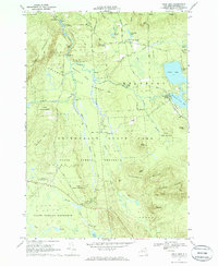
1968 Map of Owls Head
USGS Topo · Published 1970About this map
Adirondack State Park dominates the southern reaches of this landscape, where the Goldsmith Range and Plumadore Range rise above the high-altitude wetlands. The Salmon River snakes through the northern territory, carving a distinctive path through The Bend and down into Chasm Falls. This late-1960s snapshot shows a region defined by seasonal recreation and logging history, with remote clusters of habitation at Mountain View and Owls Head connected by narrow forest roads like California Road.
Find a feature on this map
60 named features on this map. Tap any name to fly to it.
Don’t see what you’re looking for? This feature index may not catch every label — zoom into the map to look around manually.
Map Details
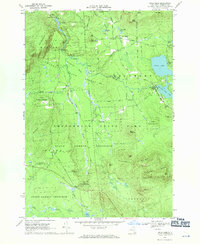
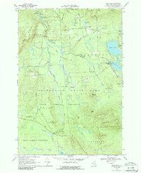
Editions of this 1968 Owls Head Map
3 editions found
Other maps of this area

1906 · Loon Lake
USGS Topo · 1:62,500

1908 · Loon Lake
USGS Topo · 1:62,500

1915 · Chateaugay
USGS Topo · 1:62,500

1915 · Malone
USGS Topo · 1:62,500

1917 · Malone
USGS Topo · 1:62,500

1921 · Santa Clara
USGS Topo · 1:62,500

1923 · Santa Clara
USGS Topo · 1:62,500

1943 · Chateaugay
USGS Topo · 1:62,500

1948 · Ogdensburg
USGS Topo · 1:250,000

1951 · Ogdensburg
USGS Topo · 1:250,000