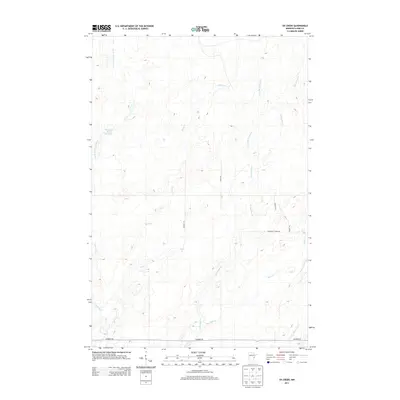
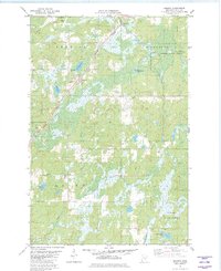
2013 Map of Ox Creek
USGS Topo · Published 2013About this map
The Lower Tamarack River and its accompanying Tamarack River Reservoir define the northwestern landscape of this Pine County terrain. This area of eastern Minnesota is characterized by a dense network of watercourses, including the north-south flow of Little McDermott Cr and McDermott Cr, which drain the eastern half of the map. Access to this quiet wilderness is marked by several backcountry routes such as Munger Trl and Timber Trl, alongside established rural roads like Duxbury Rd at the southern boundary. The presence of smaller tributaries like Ox Cr and Squib Cr suggests a complex wetland topography typical of the region's glacial legacy, where drainage patterns are often subtle and intricate.
Find a feature on this map
15 named features on this map. Tap any name to fly to it.
Don’t see what you’re looking for? This feature index may not catch every label — zoom into the map to look around manually.
Map Details
Editions of this 2013 Ox Creek Map
This is the sole edition of this map. No revisions or reprints were ever made.
Other maps of this area
1949 · Danbury
USGS Topo · 1:48,000
1949 · Holyoke
USGS Topo · 1:48,000

1953 · Duluth
USGS Topo · 1:250,000

1958 · Duluth
USGS Topo · 1:250,000
1962 · Holyoke
USGS Topo · 1:62,500
1962 · Bruno
USGS Topo · 1:62,500
1962 · Cloverdale
USGS Topo · 1:62,500
1962 · Danbury
USGS Topo · 1:62,500
1980 · Sandstone
USGS Topo · 1:100,000
1981 · Kerrick
USGS Topo · 1:24,000