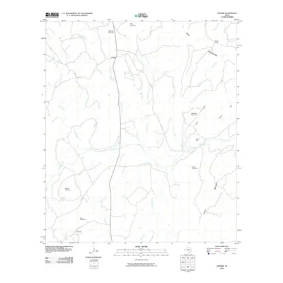
2010 Map of Oxford
USGS Topo · Published 2010About this map
Oxford sits along the northern edge of this Llano County landscape, where the elevation begins to rise into the Riley Mountains. The terrain is defined by a series of prominent peaks and drainage systems that feed into Sandy Creek and Legion Creek. Geologic and topographic features are central to the area's identity, with interestingly named landmarks such as Fool Mountain, Fool Gap, and Bowie Mountain punctuating the southern reaches.
Find a feature on this map
33 named features on this map. Tap any name to fly to it.
Don’t see what you’re looking for? This feature index may not catch every label — zoom into the map to look around manually.
Map Details
Editions of this 2010 Oxford Map
This is the sole edition of this map. No revisions or reprints were ever made.
Other maps of this area

1887 · Llano
USGS Topo · 1:125,000

1894 · Fredericksburg
USGS Topo · 1:125,000

1894 · Llano
USGS Topo · 1:125,000

1904 · Llano
USGS Topo · 1:125,000

1909 · Llano
USGS Topo · 1:125,000

1918 · Llano
USGS Topo · 1:125,000

1954 · Llano
USGS Topo · 1:250,000

1955 · Llano
USGS Topo · 1:250,000

1956 · Llano
USGS Topo · 1:250,000
1960 · Scotts Crossing
USGS Topo · 1:24,000