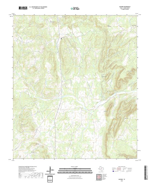
2022 Map of Oxford
USGS Topo · Published 2022About this map
Oxford Cem serves as a quiet landmark in this stretch of Llano County, where the terrain is defined by a series of isolated peaks and named ridges. To the north, Pluto Mtn and Railbrake Mtn rise above the drainage of Hondo Cr, while the eastern portion of the map is dominated by the Riley Mountains. The hydrology of the area is characterized by numerous seasonal waterways, including the winding course of Sandy Cr and its tributaries like Willow Br and Legion Cr.
Find a feature on this map
36 named features on this map. Tap any name to fly to it.
Don’t see what you’re looking for? This feature index may not catch every label — zoom into the map to look around manually.
Map Details
Editions of this 2022 Oxford Map
This is the sole edition of this map. No revisions or reprints were ever made.
Other maps of this area

1887 · Llano
USGS Topo · 1:125,000

1894 · Fredericksburg
USGS Topo · 1:125,000

1894 · Llano
USGS Topo · 1:125,000

1904 · Llano
USGS Topo · 1:125,000

1909 · Llano
USGS Topo · 1:125,000

1918 · Llano
USGS Topo · 1:125,000

1954 · Llano
USGS Topo · 1:250,000

1955 · Llano
USGS Topo · 1:250,000

1956 · Llano
USGS Topo · 1:250,000
1960 · Scotts Crossing
USGS Topo · 1:24,000