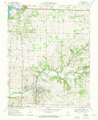
1970 Map of Ozark
USGS Topo · Published 1971About this map
Ozark serves as the focal point of this 1970 study, situated along the winding course of Finley Creek where the Garrison Branch and Melton Spring feed into the waterway. The town’s layout in this era shows a mix of industrial and community markers, including a Water Tank, Radio Tower, and several quarries. To the north, the St Louis-San Francisco railway cuts a straight path across the landscape toward Cassidy, passing by Air Park South and a local Drag Strip.
Find a feature on this map
55 named features on this map. Tap any name to fly to it.
Don’t see what you’re looking for? This feature index may not catch every label — zoom into the map to look around manually.
Map Details
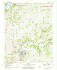
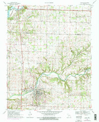
Editions of this 1970 Ozark Map
3 editions found
Other maps of this area

1884 · Springfield
USGS Topo · 1:125,000

1886 · Springfield
USGS Topo · 1:125,000

1907 · Forsyth
USGS Topo · 1:125,000

1935 · Springfield
USGS Topo · 1:24,000

1937 · Galloway
USGS Topo · 1:24,000

1937 · Ozark
USGS Topo · 1:48,000

1943 · Ozark
USGS Topo · 1:62,500

1945 · Harrison
USGS Topo · 1:250,000

1945 · Ozark
USGS Topo · 1:62,500
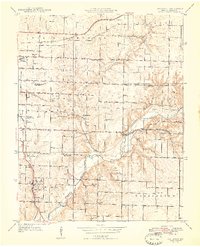
1948 · Galloway
USGS Topo · 1:24,000