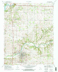
1970 Map of Ozark
USGS Topo · Published 1976About this map
Ozark and the surrounding Christian County landscape are defined by the winding course of Finley Creek, which meanders past the settlement of McCracken before pooling into Lindenlure Lake at Linden. The area's limestone geology is evidenced by several named subterranean features, including Smallin Cave, Woody Cave, and Garrison Cave. The St Louis-San Francisco railroad cuts a vertical path through the terrain, connecting the northern boundary near Lake Springfield to the heart of the community. In addition to the major waterways like the James River, the map documents a high density of small family and community burial grounds, such as Gibson-Porter Cem and Pembina Cem, reflecting the deep-rooted genealogical history of the Missouri Ozarks. Local religious life is anchored by landmarks like Hopedale Ch and Smyrna Ch, while a Drag Strip and Quarry indicate the area's mid-century recreational and industrial activities.
Find a feature on this map
48 named features on this map. Tap any name to fly to it.
Don’t see what you’re looking for? This feature index may not catch every label — zoom into the map to look around manually.
Map Details
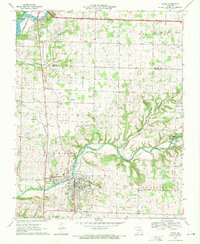
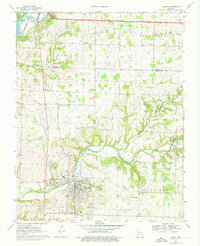
Editions of this 1970 Ozark Map
3 editions found
Other maps of this area

1884 · Springfield
USGS Topo · 1:125,000

1886 · Springfield
USGS Topo · 1:125,000

1907 · Forsyth
USGS Topo · 1:125,000

1935 · Springfield
USGS Topo · 1:24,000

1937 · Galloway
USGS Topo · 1:24,000

1937 · Ozark
USGS Topo · 1:48,000

1943 · Ozark
USGS Topo · 1:62,500

1945 · Harrison
USGS Topo · 1:250,000

1945 · Ozark
USGS Topo · 1:62,500
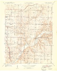
1948 · Galloway
USGS Topo · 1:24,000