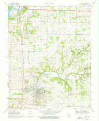
1970 Map of Ozark
USGS Topo · Published 1976About this map
Finley Creek winds through the heart of Christian County, anchoring the community of Ozark and the smaller settlement at McCracken. This 1970s survey captures a landscape defined by its subterranean geography and riparian history, featuring Smallin Cave, Garrison Cave, and Woody Cave along the hollows. The presence of the St Louis-San Francisco RR through Cassidy and into the regional center illustrates the corridor's enduring rail connections. Family history is well-preserved across the quadrangle, with numerous burial grounds including the Gibson-Porter Cem, Kelly Cem, and Weaver Cem. Along the eastern edge, the community of Linden sits near Lindenlure Lake and the Smyrna Ch, while the northern hills toward Mentor and Lake Springfield show early signs of suburban expansion through features like Airpark South and a local Drag Strip.
Find a feature on this map
59 named features on this map. Tap any name to fly to it.
Don’t see what you’re looking for? This feature index may not catch every label — zoom into the map to look around manually.
Map Details
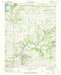
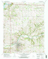
Editions of this 1970 Ozark Map
3 editions found
Other maps of this area

1884 · Springfield
USGS Topo · 1:125,000

1886 · Springfield
USGS Topo · 1:125,000

1907 · Forsyth
USGS Topo · 1:125,000

1935 · Springfield
USGS Topo · 1:24,000

1937 · Galloway
USGS Topo · 1:24,000

1937 · Ozark
USGS Topo · 1:48,000

1943 · Ozark
USGS Topo · 1:62,500

1945 · Harrison
USGS Topo · 1:250,000

1945 · Ozark
USGS Topo · 1:62,500
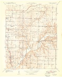
1948 · Galloway
USGS Topo · 1:24,000