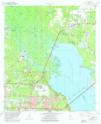
1978 Map of Pace
USGS Topo · Published 1978About this map
The delta formed by the Escambia River and Simpson River dominates this mid-1970s landscape, creating a complex network of waterways including Brosnaham Island and Noriegas Island. This period shows the transition of Pace and Ferry Pass from smaller river-adjacent communities into more established suburban hubs, evidenced by the development of the University of West Florida campus and the presence of Pace High Sch. Industrial activity is highly visible along the riverbanks, where numerous industrial waste ponds and a powerplant reflect the era's manufacturing focus.
Find a feature on this map
95 named features on this map. Tap any name to fly to it.
Don’t see what you’re looking for? This feature index may not catch every label — zoom into the map to look around manually.
Map Details
Editions of this 1978 Pace Map
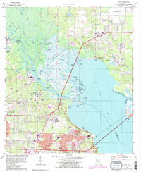
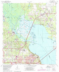
3 editions found
Other maps of this area

1920 · Milton
USGS Topo · 1:62,500

1921 · Pensacola
USGS Topo · 1:62,500

1921 · Fort Barrancas
USGS Topo · 1:62,500

1921 · Muscogee
USGS Topo · 1:62,500

1941 · Fort Barrancas
USGS Topo · 1:62,500

1941 · Muscogee
USGS Topo · 1:62,500

1941 · Pensacola
USGS Topo · 1:62,500

1941 · Milton
USGS Topo · 1:62,500

1942 · Pensacola
USGS Topo · 1:62,500

1943 · Muscogee
USGS Topo · 1:62,500