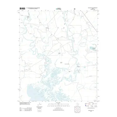
2013 Map of Pace Hill
USGS Topo · Published 2013About this map
The Neches River and Angelina River converge to form a complex hydrologic network in this corner of East Texas. The landscape is dominated by the sprawling backwaters of B A Steinhagen Lake, where intricate channels like Mulberry Flat Slough and Devils Slough carve around landmasses such as Big Pine Island and Little Pine Island. This terrain reflects a history of river-bound commerce and transit, anchored by the settlement of Bevilport near the Bevilport Reservoir.
Find a feature on this map
88 named features on this map. Tap any name to fly to it.
Don’t see what you’re looking for? This feature index may not catch every label — zoom into the map to look around manually.
Map Details
Editions of this 2013 Pace Hill Map
This is the sole edition of this map. No revisions or reprints were ever made.
Other maps of this area

1931 · Zavalla
USGS Topo · 1:62,500

1953 · Palestine
USGS Topo · 1:250,000

1954 · Beaumont
USGS Topo · 1:250,000

1955 · Woodville
USGS Topo · 1:62,500

1955 · Curtis
USGS Topo · 1:62,500

1957 · Beaumont
USGS Topo · 1:250,000

1957 · Palestine
USGS Topo · 1:250,000

1958 · Zavalla
USGS Topo · 1:62,500

1958 · Mc Gee Bend
USGS Topo · 1:62,500

1984 · Beaumont
USGS Topo · 1:250,000