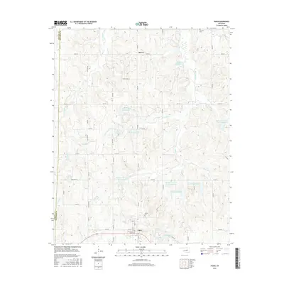
2016 Map of Paden
USGS Topo · Published 2016About this map
Paden serves as the primary hub for this portion of Okfuskee County, situated near the western boundary where the terrain meets Lincoln Co. The landscape is defined by an intricate network of drainage and water management, featuring creeks such as Pettiquah Creek and Hilliby Cr, alongside numerous numbered reservoirs like the Okfuskee Tributaries Hilliby Cr Site H-6 Reservoir. These water bodies suggest a rural economy focused on land and water conservation during the early 21st century.
Find a feature on this map
53 named features on this map. Tap any name to fly to it.
Don’t see what you’re looking for? This feature index may not catch every label — zoom into the map to look around manually.
Map Details
Editions of this 2016 Paden Map
This is the sole edition of this map. No revisions or reprints were ever made.
Other maps of this area

1896 · Seminole and Prague
USGS Topo · 1:125,000

1900 · Wewoka
USGS Topo · 1:125,000

1901 · Nuyaka
USGS Topo · 1:125,000

1929 · Stroud
USGS Topo · 1:62,500

1932 · Stroud
USGS Topo · 1:62,500

1954 · Oklahoma City
USGS Topo · 1:250,000

1957 · Oklahoma City
USGS Topo · 1:250,000

1963 · Oklahoma City
USGS Topo · 1:250,000

1967 · Prague NE
USGS Topo · 1:24,000

1967 · Boley
USGS Topo · 1:24,000