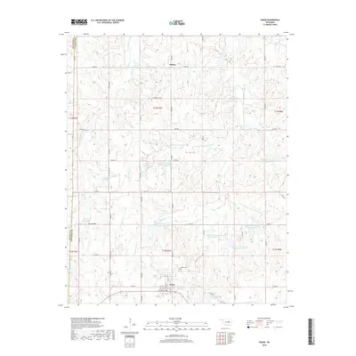
2018 Map of Paden
USGS Topo · Published 2018About this map
Paden stands at the heart of this Okfuskee County landscape, its grid defined by streets like W 7th St and Main St. The town is the primary node in an area otherwise characterized by rural homesteads and agricultural routes such as W Deer Creek Rd and John Deere Rd. Northeast of the town center, the Oakdale Cem provides a point of significant interest for local genealogists and family historians.
Find a feature on this map
55 named features on this map. Tap any name to fly to it.
Don’t see what you’re looking for? This feature index may not catch every label — zoom into the map to look around manually.
Map Details
Editions of this 2018 Paden Map
This is the sole edition of this map. No revisions or reprints were ever made.
Other maps of this area

1896 · Seminole and Prague
USGS Topo · 1:125,000

1900 · Wewoka
USGS Topo · 1:125,000

1901 · Nuyaka
USGS Topo · 1:125,000

1929 · Stroud
USGS Topo · 1:62,500

1932 · Stroud
USGS Topo · 1:62,500

1954 · Oklahoma City
USGS Topo · 1:250,000

1957 · Oklahoma City
USGS Topo · 1:250,000

1963 · Oklahoma City
USGS Topo · 1:250,000

1967 · Prague NE
USGS Topo · 1:24,000

1967 · Boley
USGS Topo · 1:24,000