
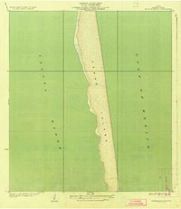
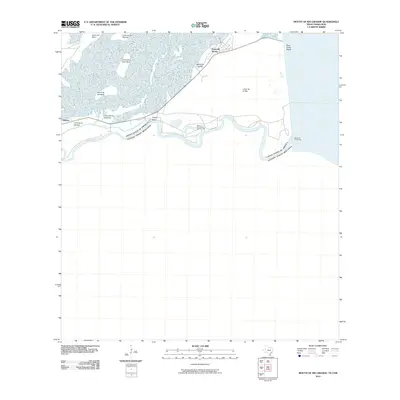
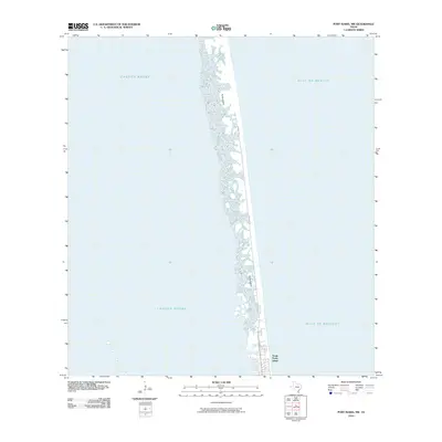
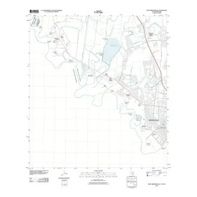
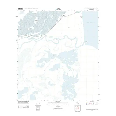
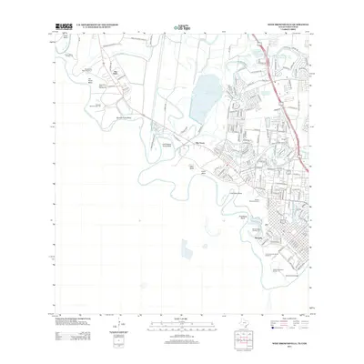
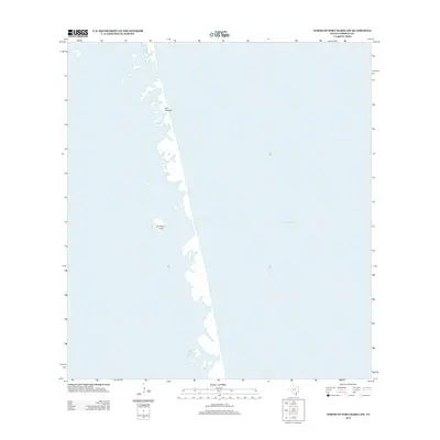
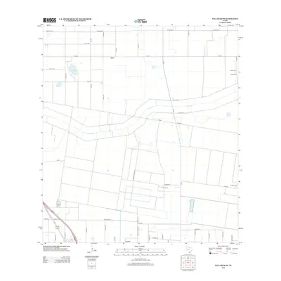
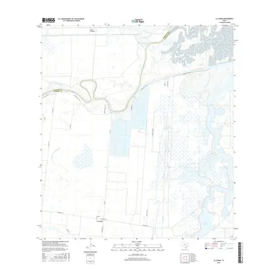
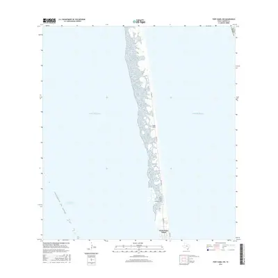
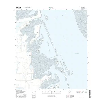
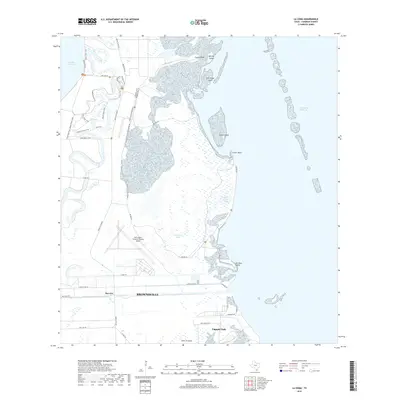
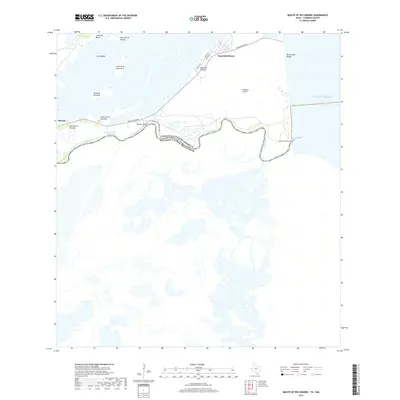
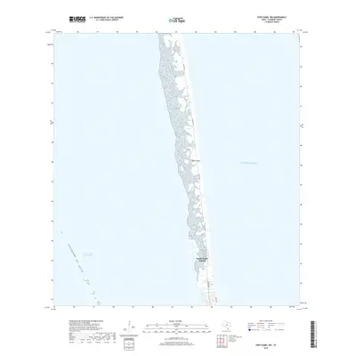
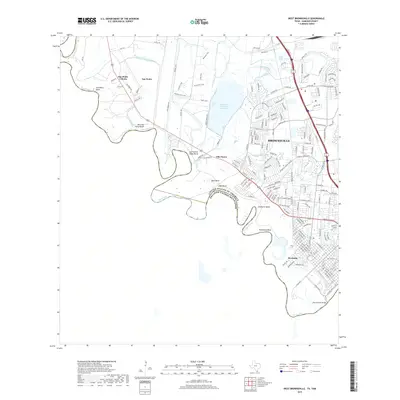
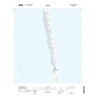
1935 Map of Padre Island No 1
USGS Topo · Published 1949About this map
Padre Island forms a narrow, shifting barrier between the hypersaline waters of Laguna Madre and the open Gulf of Mexico in this 1930s coastal study. Compiled from early aerial photography by the Air Corps and U.S. Army, the map documents the primitive state of this coastal reach before significant modern development. The survey emphasizes the intricate shoreline and drainage patterns of the island, which is presented here in its natural form without the roads or structures that would later define the Texas coast. This document reflects a specific era of surveying where aerial photography began to replace ground-based methods for mapping such dynamic, tide-affected landscapes, providing a baseline of the island's morphology during the mid-20th century.
Find a feature on this map
3 named features on this map. Tap any name to fly to it.
Don’t see what you’re looking for? This feature index may not catch every label — zoom into the map to look around manually.
Map Details
Editions of this 1935 Padre Island No 1 Map
2 editions found
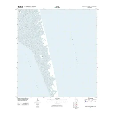
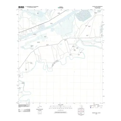
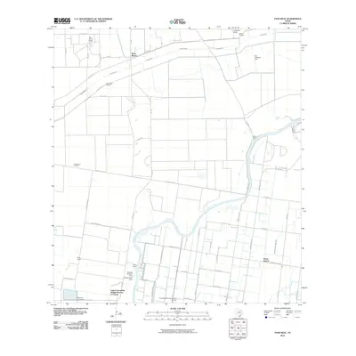
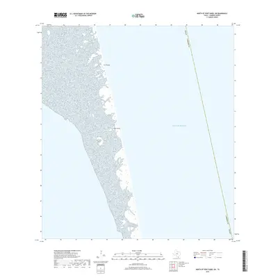
Historical Maps of South Padre Island Through Time
118 maps found

1929 Buena Vista
Cameron County, TX

1929 La Coma
Cameron County, TX

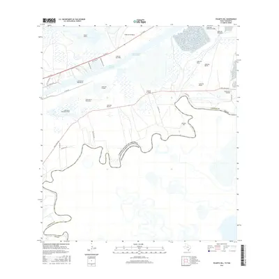
1929 Palmito Hill
Cameron County, TX

1929 Point Isabel
Cameron County, TX

1930 Barreda
Cameron County, TX

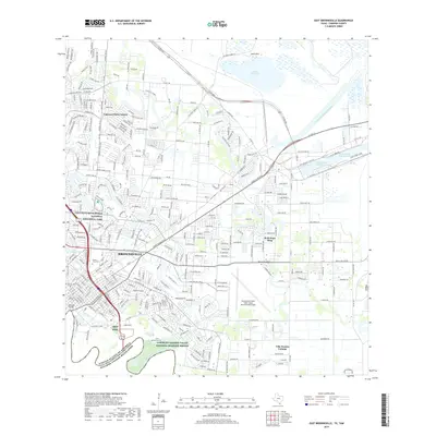
1930 East Brownsville
Cameron County, TX

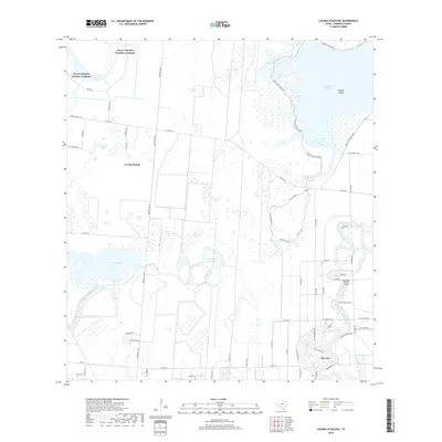
1930 Laguna Atascosa
Cameron County, TX

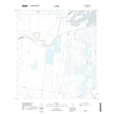
1930 La Leona
Cameron County, TX

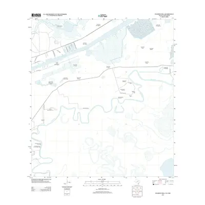
1930 Padre Island No. 1
Cameron County, TX

1930 Padre Island No. 2
Cameron County, TX

1930 West Brownsville
Cameron County, TX

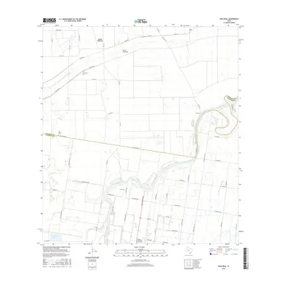
1933 Paso Real
Cameron County, TX

1934 La Coma
Cameron County, TX

1935 Buena Vista
Cameron County, TX
1935 Padre Island No 1
Cameron County, TX

1935 Padre Island NO. 2
Cameron County, TX

1936 East Brownsville
Cameron County, TX

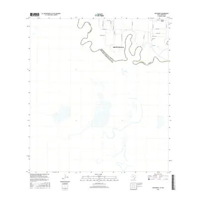
1936 Laguna Atascosa
Cameron County, TX

1936 La Leona
Cameron County, TX

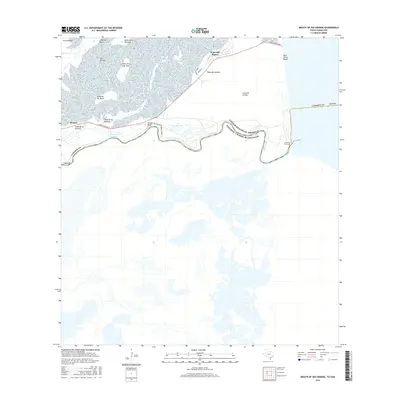
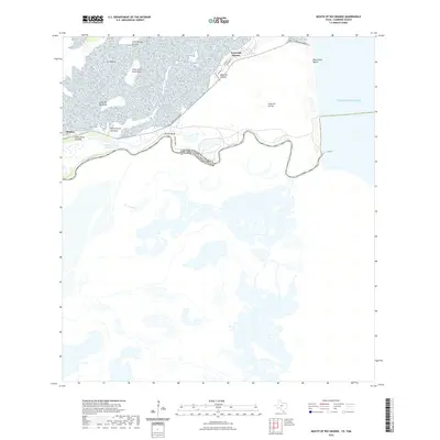
1936 Mouth Of Rio Grande
Cameron County, TX

1936 Palmito Hill
Cameron County, TX

1936 Southmost
Cameron County, TX

1936 West Brownsville
Cameron County, TX

1954 Three Islands
Cameron County, TX

1955 East Brownsville
Cameron County, TX

1955 Fort Brown
Cameron County, TX

1955 La Coma
Cameron County, TX

1955 La Leona
Cameron County, TX

1955 La Leona
Cameron County, TX

1955 Mouth Of Rio Grande
Cameron County, TX

1955 Mouth Of Rio Grande
Cameron County, TX

1955 North Of Port Isabel
Cameron County, TX

1955 North Of Port Isabel SW
Cameron County, TX

1955 Palmito Hill
Cameron County, TX

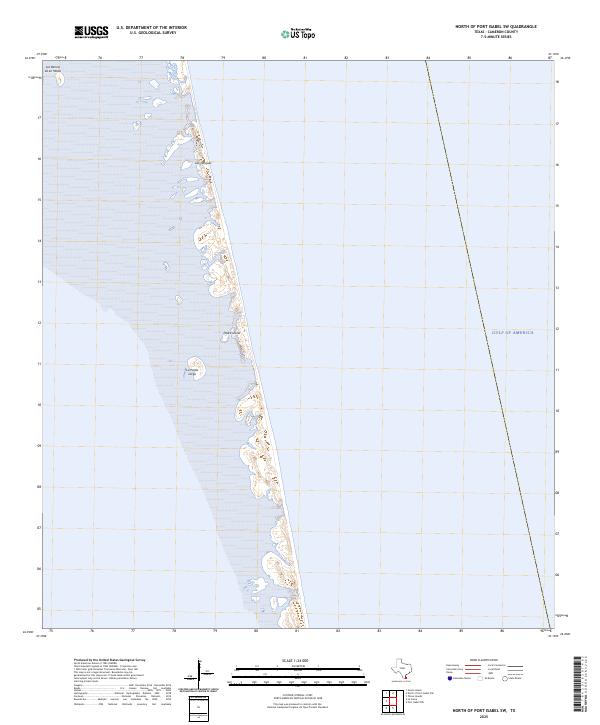
1955 Port Isabel NW
Cameron County, TX

1955 Southmost
Cameron County, TX

1956 Laguna Atascosa
Cameron County, TX

1956 Paso Real
Cameron County, TX

1956 West Brownsville
Cameron County, TX

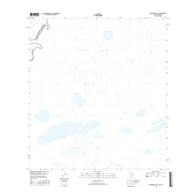
1956 Willamar SW
Cameron County, TX
2010 East Brownsville
Cameron County, TX

2010 La Coma
Cameron County, TX
2010 Laguna Atascosa
Cameron County, TX
2010 La Leona
Cameron County, TX
2010 Mouth of Rio Grande
Cameron County, TX
2010 North of Port Isabel SW
Cameron County, TX
2010 Palmito Hill
Cameron County, TX
2010 Paso Real
Cameron County, TX
2010 Port Isabel NW
Cameron County, TX
2010 Southmost
Cameron County, TX
2010 Southmost OE E
Cameron County, TX
2010 Three Islands
Cameron County, TX
2010 West Brownsville
Cameron County, TX
2010 West Brownsville OE W
Cameron County, TX
2010 Willamar SW
Cameron County, TX
2012 East Brownsville
Cameron County, TX
2012 Mouth of Rio Grande
Cameron County, TX
2012 Palmito Hill
Cameron County, TX
2012 Southmost
Cameron County, TX
2012 Southmost OE E
Cameron County, TX
2012 West Brownsville
Cameron County, TX
2012 West Brownsville OE W
Cameron County, TX

2013 La Coma
Cameron County, TX
2013 Laguna Atascosa
Cameron County, TX
2013 La Leona
Cameron County, TX
2013 North of Port Isabel SW
Cameron County, TX
2013 Paso Real
Cameron County, TX
2013 Port Isabel NW
Cameron County, TX
2013 Three Islands
Cameron County, TX
2013 Willamar SW
Cameron County, TX
2016 East Brownsville
Cameron County, TX
2016 La Coma
Cameron County, TX
2016 Laguna Atascosa
Cameron County, TX
2016 La Leona
Cameron County, TX
2016 Mouth of Rio Grande
Cameron County, TX
2016 North of Port Isabel SW
Cameron County, TX
2016 Palmito Hill
Cameron County, TX
2016 Paso Real
Cameron County, TX
2016 Port Isabel NW
Cameron County, TX
2016 Southmost
Cameron County, TX
2016 Southmost OE E
Cameron County, TX
2016 Three Islands
Cameron County, TX
2016 West Brownsville
Cameron County, TX
2016 West Brownsville OE W
Cameron County, TX
2016 Willamar SW
Cameron County, TX
2019 East Brownsville
Cameron County, TX
2019 La Coma
Cameron County, TX
2019 Laguna Atascosa
Cameron County, TX
2019 La Leona
Cameron County, TX
2019 Mouth of Rio Grande
Cameron County, TX
2019 North of Port Isabel SW
Cameron County, TX
2019 Palmito Hill
Cameron County, TX
2019 Paso Real
Cameron County, TX
2019 Port Isabel NW
Cameron County, TX
2019 Southmost
Cameron County, TX
2019 Southmost OE E
Cameron County, TX
2019 Three Islands
Cameron County, TX
2019 West Brownsville
Cameron County, TX
2019 West Brownsville OE W
Cameron County, TX
2019 Willamar SW
Cameron County, TX

2022 East Brownsville
Cameron County, TX

2022 La Coma
Cameron County, TX

2022 Laguna Atascosa
Cameron County, TX

2022 La Leona
Cameron County, TX
2022 Mouth of Rio Grande
Cameron County, TX

2022 North of Port Isabel SW
Cameron County, TX

2022 Palmito Hill
Cameron County, TX

2022 Paso Real
Cameron County, TX
2022 Port Isabel NW
Cameron County, TX

2022 Southmost
Cameron County, TX

2022 Southmost OE E
Cameron County, TX

2022 Three Islands
Cameron County, TX

2022 West Brownsville OE W
Cameron County, TX

2022 Willamar SW
Cameron County, TX

2023 West Brownsville
Cameron County, TX

2025 Mouth of Rio Grande
Cameron County, TX
2025 North of Port Isabel SW
Cameron County, TX

2025 Port Isabel NW
Cameron County, TX