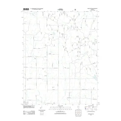
2012 Map of Paducah NE
USGS Topo · Published 2012About this map
Brookport Cem and the northern outskirts of the Ohio River valley define this rural landscape in Massac County. The terrain is characterized by a dense network of local routes such as Mount Pleasant Rd and Waldo Church Rd, which link numerous small family and community burial grounds. These sites, including Golightly Cem, Azotus Cem, and Masonic Cem, provide a detailed genealogical record of the area's early settlers and rural congregations. The hydrology of the region is shaped by many small waterways and low-lying basins, with Barren Cr and Crenshaw Cr feeding into larger pools like Mann Lake and Hohman Lake. The placement of landmarks like Mill Spring and Buzzard Roost Cem indicates a long-standing pattern of upland habitation overlooking the creek bottoms.
Find a feature on this map
62 named features on this map. Tap any name to fly to it.
Don’t see what you’re looking for? This feature index may not catch every label — zoom into the map to look around manually.
Map Details
Editions of this 2012 Paducah NE Map
This is the sole edition of this map. No revisions or reprints were ever made.
Other maps of this area

1916 · Golconda
USGS Topo · 1:62,500

1917 · Brownfield
USGS Topo · 1:62,500

1920 · Goloonda
USGS Topo · 1:48,000

1921 · Golconda
USGS Topo · 1:62,500

1926 · Paducah
USGS Topo · 1:62,500

1929 · Smithland
USGS Topo · 1:62,500

1929 · Paducah
USGS Topo · 1:62,500

1936 · Paducah
USGS Topo · 1:24,000

1936 · Smithland
USGS Topo · 1:48,000

1936 · Little Cypress
USGS Topo · 1:24,000